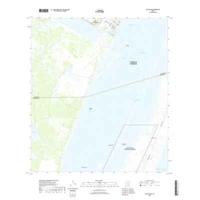
2019 Map of Pita Island
USGS Topo · Published 2019About this map
The coastal waters and barrier islands of Corpus Christi define this landscape where the Nueces Co and Kleberg Co line cuts through the southern reaches of the Laguna Madre. The shoreline is characterized by a complex network of maritime features, including the Intracoastal Waterway and deep-water depressions such as Beacrofts Hole, Oalesby Hole, and Emmords Hole. These named "holes" suggest localized maritime geography critical for local navigation and fishing in the shallow lagoon environment.
Find a feature on this map
29 named features on this map. Tap any name to fly to it.
Don’t see what you’re looking for? This feature index may not catch every label — zoom into the map to look around manually.
Map Details
Editions of this 2019 Pita Island Map
This is the sole edition of this map. No revisions or reprints were ever made.
Other maps of this area

1925 · Oso Creek
USGS Topo · 1:62,500

1950 · Corpus Christi
USGS Topo · 1:250,000

1951 · South Bird Island
USGS Topo · 1:24,000

1951 · Crane Islands NW
USGS Topo · 1:24,000

1951 · South Bird Island NW
USGS Topo · 1:24,000

1951 · Oso Creek NW
USGS Topo · 1:24,000

1951 · Oso Creek NE
USGS Topo · 1:24,000

1951 · Crane Islands SW
USGS Topo · 1:24,000

1951 · Oso Creek
USGS Topo · 1:62,500

1951 · Crane Islands
USGS Topo · 1:62,500