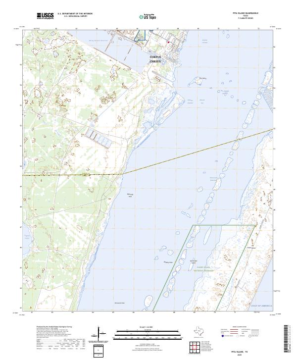
2025 Map of Pita Island
USGS Topo · Published 2025About this map
Padre Island National Seashore dominates the coastal landscape of this quadrangle, where the barrier island environment meets the waters of the Gulf of America. The map documents a complex system of maritime channels and basins, including the Intracoastal Waterway and various deep-water pockets like Beacrofts Hole and Emmords Hole. These features, alongside the Natural Channel and New Humble Channel, illustrate the importance of navigational dredging and natural hydrography in the Laguna Madre region.
Find a feature on this map
30 named features on this map. Tap any name to fly to it.
Don’t see what you’re looking for? This feature index may not catch every label — zoom into the map to look around manually.
Map Details
Editions of this 2025 Pita Island Map
This is the sole edition of this map. No revisions or reprints were ever made.
Other maps of this area

1925 · Oso Creek
USGS Topo · 1:62,500

1950 · Corpus Christi
USGS Topo · 1:250,000

1951 · South Bird Island
USGS Topo · 1:24,000

1951 · Crane Islands NW
USGS Topo · 1:24,000

1951 · South Bird Island NW
USGS Topo · 1:24,000

1951 · Oso Creek NW
USGS Topo · 1:24,000

1951 · Oso Creek NE
USGS Topo · 1:24,000

1951 · Crane Islands SW
USGS Topo · 1:24,000

1951 · Oso Creek
USGS Topo · 1:62,500

1951 · Crane Islands
USGS Topo · 1:62,500