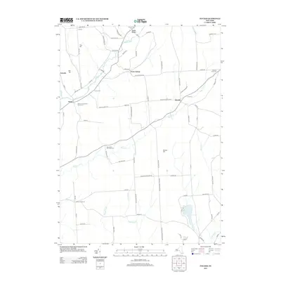
2013 Map of Pitcher
USGS Topo · Published 2013About this map
The Otselic River winds through the northwestern portion of this Chenango and Cortland County landscape, passing the established settlements of Pitcher and North Pitcher. This 2013 digital survey illustrates a rural community defined by its burial grounds and historical intersections, such as German Five Corners and Hydeville. The area’s spiritual and genealogical history is anchored by the Pitcher Congregational Church and numerous family or community plots like the Brakel Valley Churchyard Cem and Pharsalia Center Cem.
Find a feature on this map
85 named features on this map. Tap any name to fly to it.
Don’t see what you’re looking for? This feature index may not catch every label — zoom into the map to look around manually.
Map Details
Editions of this 2013 Pitcher Map
This is the sole edition of this map. No revisions or reprints were ever made.
Other maps of this area

1902 · Coventry
USGS Topo · 1:62,500

1903 · Norwich
USGS Topo · 1:62,500

1904 · Greene
USGS Topo · 1:62,500

1904 · Oxford
USGS Topo · 1:62,500

1904 · Pitcher
USGS Topo · 1:62,500

1943 · Otselic
USGS Topo · 1:24,000

1943 · South Ostelic
USGS Topo · 1:24,000

1943 · Cincinnatus
USGS Topo · 1:24,000

1943 · East Pharsalia
USGS Topo · 1:24,000

1943 · Cuyler
USGS Topo · 1:24,000