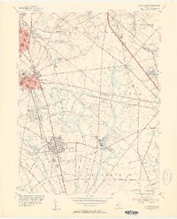
1953 Map of Pitman East
USGS Topo · Published 1954About this map
The growing educational hub of Glassboro anchors this 1953 survey, centered on the State Teachers College and the surrounding street grid. The landscape to the east and south transitions into a network of small agricultural and industrial settlements connected by the Pennsylvania-Reading Seashore Lines. In Clayton, the Cedar Green Cem and St Catherine Ch stand near the rail corridor, while the rural interior is dotted with legacy sites like Fries Mill and the Downer Ch Cem.
Find a feature on this map
60 named features on this map. Tap any name to fly to it.
Don’t see what you’re looking for? This feature index may not catch every label — zoom into the map to look around manually.
Map Details
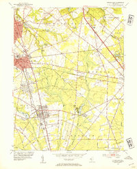
Editions of this 1953 Pitman East Map
2 editions found
Other maps of this area

1888 · Mount Holly
USGS Topo · 1:62,500

1890 · Hammonton
USGS Topo · 1:62,500

1890 · Glassboro
USGS Topo · 1:62,500

1891 · Philadelphia
USGS Topo · 1:62,500

1894 · Hammonton
USGS Topo · 1:62,500

1894 · Mount Holly
USGS Topo · 1:62,500

1894 · Philadelphia
USGS Topo · 1:62,500

1896 · Philadelphia
USGS Topo · 1:62,500

1898 · Glassboro
USGS Topo · 1:62,500

1898 · Philadelphia
USGS Topo · 1:62,500