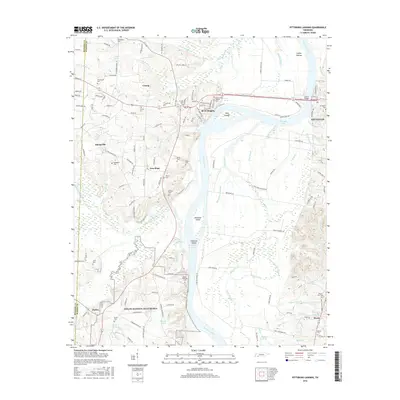
2016 Map of Pittsburg Landing
USGS Topo · Published 2016About this map
Shiloh National Battlefield occupies the southern reach of this survey, preserving the grounds of the 1862 conflict where the Shiloh National Cem and Shiloh Cem now stand. The Tennessee River serves as the central artery for the region, flowing past Diamond Island and the expansive Coffee Bottom lowlands before reaching the city of Savannah in the northeast. The river's influence on the landscape is evident in the network of sloughs and branches, such as Riding Switch Slough and Mussels Slough, which weave through the bottomlands.
Find a feature on this map
171 named features on this map. Tap any name to fly to it.
Don’t see what you’re looking for? This feature index may not catch every label — zoom into the map to look around manually.
Map Details
Editions of this 2016 Pittsburg Landing Map
This is the sole edition of this map. No revisions or reprints were ever made.
Other maps of this area

1936 · Savannah
USGS Topo · 1:24,000

1936 · Hookers Bend
USGS Topo · 1:24,000

1936 · Counce
USGS Topo · 1:24,000

1936 · Leapwood
USGS Topo · 1:24,000

1936 · Milledgeville
USGS Topo · 1:24,000

1936 · Pickwick
USGS Topo · 1:24,000

1936 · Pittsburg Landing
USGS Topo · 1:24,000

1936 · Stantonville
USGS Topo · 1:24,000

1936 · Michie
USGS Topo · 1:24,000

1949 · Hookers Bend
USGS Topo · 1:24,000