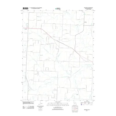
2011 Map of Pittsville
USGS Topo · Published 2011About this map
Pittsville and Columbus anchor this rural landscape in Johnson County, where the topography is defined by the converging branches of the Blackwater River system. The NW U.S. Highway 50 corridor cuts diagonally across the northern half of the region, providing a modern transit artery through an area otherwise shaped by a dense grid of secondary roads such as NW 700th Rd and NW 200th Rd. The drainage pattern is complex, with the North Fork Blackwater River and South Fork Blackwater River winding through the terrain alongside smaller tributaries like Little Creek and Butcher Branch. For those tracing local heritage, the inclusion of Blackwater Cemetery near the center of the sheet and Haymaker Cemetery to the southeast offers specific points of interest for genealogical research in this predominantly agricultural portion of Missouri.
Find a feature on this map
47 named features on this map. Tap any name to fly to it.
Don’t see what you’re looking for? This feature index may not catch every label — zoom into the map to look around manually.
Map Details
Editions of this 2011 Pittsville Map
This is the sole edition of this map. No revisions or reprints were ever made.
Other maps of this area

1885 · Warrensburg
USGS Topo · 1:125,000

1887 · Harrisonville
USGS Topo · 1:125,000

1887 · Warrensburg
USGS Topo · 1:125,000

1892 · Harrisonville
USGS Topo · 1:125,000

1894 · Harrisonville
USGS Topo · 1:125,000

1894 · Warrensburg
USGS Topo · 1:125,000

1947 · Jefferson City
USGS Topo · 1:250,000

1947 · Lawrence
USGS Topo · 1:250,000

1950 · Lawrence
USGS Topo · 1:250,000

1954 · Jefferson City
USGS Topo · 1:250,000