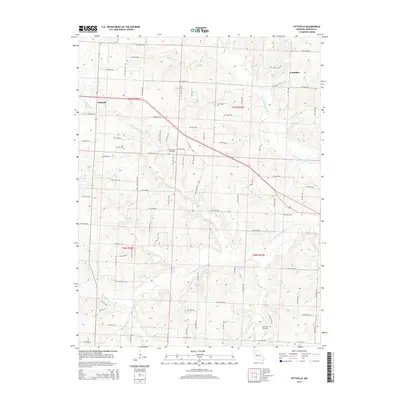
2014 Map of Pittsville
USGS Topo · Published 2014About this map
Pittsville and Columbus anchor this rural landscape in Johnson County, defined by the complex drainage network of the Blackwater River system. The confluence of several significant waterways, including the N Fork Blackwater River, S Fork Blackwater River, and Little Blackwater Cr, dictates the layout of the local road grid. The map reveals a highly structured section-line road system, with routes like NW 600th RD and NW 400th RD carving through the countryside to connect outlying farms and homesteads.
Find a feature on this map
45 named features on this map. Tap any name to fly to it.
Don’t see what you’re looking for? This feature index may not catch every label — zoom into the map to look around manually.
Map Details
Editions of this 2014 Pittsville Map
This is the sole edition of this map. No revisions or reprints were ever made.
Other maps of this area

1885 · Warrensburg
USGS Topo · 1:125,000

1887 · Harrisonville
USGS Topo · 1:125,000

1887 · Warrensburg
USGS Topo · 1:125,000

1892 · Harrisonville
USGS Topo · 1:125,000

1894 · Harrisonville
USGS Topo · 1:125,000

1894 · Warrensburg
USGS Topo · 1:125,000

1947 · Jefferson City
USGS Topo · 1:250,000

1947 · Lawrence
USGS Topo · 1:250,000

1950 · Lawrence
USGS Topo · 1:250,000

1954 · Jefferson City
USGS Topo · 1:250,000