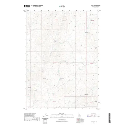
2020 Map of Pixley Basin
USGS Topo · Published 2020About this map
Pixley Basin serves as the central focal point for this 2020 landscape in Owyhee County, characterized by a complex drainage network feeding into Castle Cr and Pixley Cr. The high-desert terrain is marked by prominent elevations such as Doyle Mtn, Black Butte, and Rough Mtn, which define the surrounding basins and gulches.
Find a feature on this map
37 named features on this map. Tap any name to fly to it.
Don’t see what you’re looking for? This feature index may not catch every label — zoom into the map to look around manually.
Map Details
Editions of this 2020 Pixley Basin Map
This is the sole edition of this map. No revisions or reprints were ever made.
Other maps of this area

1955 · Jordan Valley
USGS Topo · 1:250,000

1957 · Jordan Valley
USGS Topo · 1:250,000

1958 · Jordan Valley
USGS Topo · 1:250,000

1965 · Triangle
USGS Topo · 1:62,500
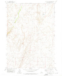
1972 · Rough Mountain NE
USGS Topo · 1:24,000
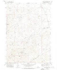
1972 · Rough Mountain
USGS Topo · 1:24,000
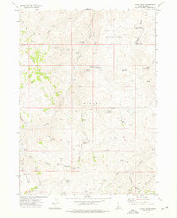
1972 · Pixley Basin
USGS Topo · 1:24,000
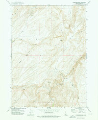
1972 · Antelope Spring
USGS Topo · 1:24,000
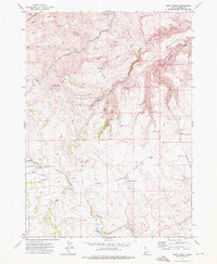
1972 · Snow Creek
USGS Topo · 1:24,000
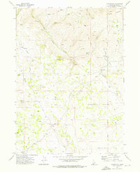
1972 · Clover Mtn
USGS Topo · 1:24,000