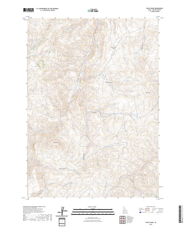
2024 Map of Pixley Basin
USGS Topo · Published 2024About this map
Pixley Basin serves as the focal point of this high-elevation terrain in Owyhee County, where a complex network of springs and gulches defines the water-scarce environment. The landscape is punctuated by prominent peaks including Toy Mtn in the northwest and Rough Mtn to the southeast, illustrating a territory where drainage patterns like Goodman Gulch and Shirtail Gulch dictate movement across the land. Numerous water sources such as Reservation Spring, Doyle Mountain Spring, and Goodman Gulch Spring are mapped with precision, highlighting their critical importance for livestock and wildlife in this part of Idaho. Major drainages like Horse Thief Creek and the South Fork Castle Creek carve through the basin, revealing a topographic structure shaped by seasonal flows. This contemporary survey preserves the traditional nomenclature of the high desert, from Hogpen Gulch to the heights of Black Butte.
Find a feature on this map
38 named features on this map. Tap any name to fly to it.
Don’t see what you’re looking for? This feature index may not catch every label — zoom into the map to look around manually.
Map Details
Editions of this 2024 Pixley Basin Map
This is the sole edition of this map. No revisions or reprints were ever made.
Other maps of this area

1955 · Jordan Valley
USGS Topo · 1:250,000

1957 · Jordan Valley
USGS Topo · 1:250,000

1958 · Jordan Valley
USGS Topo · 1:250,000

1965 · Triangle
USGS Topo · 1:62,500
1972 · Rough Mountain NE
USGS Topo · 1:24,000
1972 · Rough Mountain
USGS Topo · 1:24,000
1972 · Pixley Basin
USGS Topo · 1:24,000
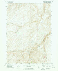
1972 · Antelope Spring
USGS Topo · 1:24,000
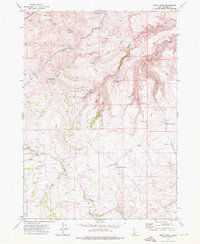
1972 · Snow Creek
USGS Topo · 1:24,000
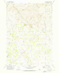
1972 · Clover Mtn
USGS Topo · 1:24,000