Loading...
Loading map...2021 Map of Pixley
USGS Topo · Published 2021About this map
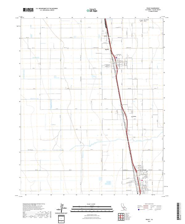
Pixley serves as the central hub in this agricultural landscape within the San Joaquin Valley, characterized by a strictly regulated grid of avenues and county roads. The terrain of the Central Valley is remarkably flat, with the topography defined primarily by water management and transit corridors. The course of Deer Creek meanders through the southern half of the quadrangle, crossing under Deer Creek Ave as it flows westward.
Find a feature on this map
55 named features on this map. Tap any name to fly to it.
Don’t see what you’re looking for? This feature index may not catch every label — zoom into the map to look around manually.
Map Details
Date Portrayed2021
Date Published2021
PublisherU.S. Geological Survey
Map TypeTopographic
Scale1:24000
Physical Dimensions24 x 29 inches
Editions of this 2021 Pixley Map
This is the sole edition of this map. No revisions or reprints were ever made.
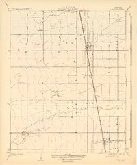
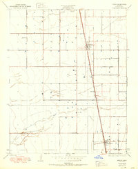
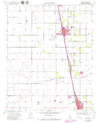
Historical Maps of Pixley Through Time
4 maps found
Featured Locations
Source Details
SourceU.S. Geological Survey
CopyrightPublic Domain