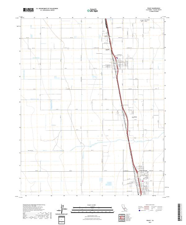
2021 Map of Pixley
USGS Topo · Published 2021About this map
Pixley serves as the central hub in this agricultural landscape within the San Joaquin Valley, characterized by a strictly regulated grid of avenues and county roads. The terrain of the Central Valley is remarkably flat, with the topography defined primarily by water management and transit corridors. The course of Deer Creek meanders through the southern half of the quadrangle, crossing under Deer Creek Ave as it flows westward.
Find a feature on this map
55 named features on this map. Tap any name to fly to it.
Don’t see what you’re looking for? This feature index may not catch every label — zoom into the map to look around manually.
Map Details
Editions of this 2021 Pixley Map
This is the sole edition of this map. No revisions or reprints were ever made.
Other maps of this area

1925 · Tipton
USGS Topo · 1:31,680

1927 · Lake View School
USGS Topo · 1:31,680

1928 · Tipton
USGS Topo · 1:31,680

1928 · Woodville
USGS Topo · 1:31,680

1929 · Alpaugh
USGS Topo · 1:31,680

1929 · Delano
USGS Topo · 1:31,680

1929 · Sausalito School
USGS Topo · 1:31,680

1929 · Pixley
USGS Topo · 1:31,680

1929 · Stone
USGS Topo · 1:31,680

1929 · Allensworth
USGS Topo · 1:31,680