
1928 Map of Woodville
USGS Topo · Published 1928About this map
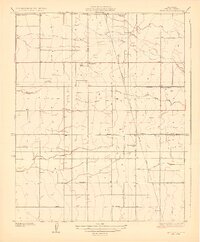
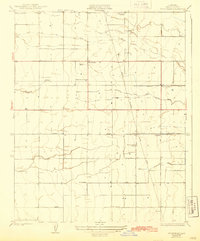
The Tule River meanders across the northern portion of this Tulare County landscape, which was surveyed just as the regional irrigation network was becoming highly formalized in the mid-1920s. Centered on the settlement of Woodville, the map reveals a meticulously gridded agricultural district defined by prominent irrigation channels such as Stockton Ditch and Wood Center Ditch. This era shows the local reliance on the Southern Pacific railroad line, which bisects the territory from north to south, providing a vital link for the agricultural output of the Central Valley. Scattered throughout the rural sections are several local educational landmarks, including Surprise School, Harmony School, and Vincent School, which served the families living along named thoroughfares like Poplar Avenue and Macomber Road. The presence of the Edison California Power Line indicates the encroaching modernization of the valley floor during this period.
Find a feature on this map
16 named features on this map. Tap any name to fly to it.
Don’t see what you’re looking for? This feature index may not catch every label — zoom into the map to look around manually.
Map Details
Editions of this 1928 Woodville Map
3 editions found
Other maps of this area

1925 · Tulare
USGS Topo · 1:31,680

1925 · Tipton
USGS Topo · 1:31,680

1927 · Cairns Corner
USGS Topo · 1:31,680

1927 · Tulare
USGS Topo · 1:31,680

1928 · Tipton
USGS Topo · 1:31,680

1928 · Lindsay
USGS Topo · 1:31,680

1929 · Sausalito School
USGS Topo · 1:31,680

1929 · Porterville
USGS Topo · 1:31,680

1929 · Pixley
USGS Topo · 1:31,680

1929 · Ducor
USGS Topo · 1:31,680