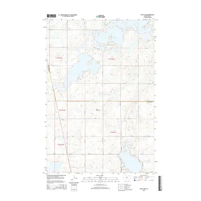
2015 Map of Piyas Lake
USGS Topo · Published 2015About this map
The Coteau des Prairies plateau, a vast glacially-formed upland, dominates the topography of this northeastern South Dakota landscape. Large, irregular water bodies including Piyas Lake and the Buffalo Lakes serve as primary geographical landmarks, with the county line between Marshall Co and Day Co bisecting the central terrain. The map details a strictly organized sectional grid of township roads such as 122nd St and 444th Ave, reflecting the systematic land survey of the Great Plains. Along the southern shores of the lake system, more localized routes like N Lakeview Dr, Chekapa Ln, and Dulyun Rd indicate areas of residential or recreational development near Chekapa Cr. This 2015 survey provides a modern view of the hydrologic and administrative boundaries that define the Enemy Swim District.
Find a feature on this map
31 named features on this map. Tap any name to fly to it.
Don’t see what you’re looking for? This feature index may not catch every label — zoom into the map to look around manually.
Map Details
Editions of this 2015 Piyas Lake Map
This is the sole edition of this map. No revisions or reprints were ever made.
Other maps of this area

1953 · Milbank
USGS Topo · 1:250,000

1958 · Milbank
USGS Topo · 1:250,000

1970 · Eden
USGS Topo · 1:24,000

1970 · Whitestone Lake
USGS Topo · 1:24,000

1970 · South Red Iron Lake
USGS Topo · 1:24,000

1970 · Lake City
USGS Topo · 1:24,000

1970 · Piyas Lake
USGS Topo · 1:24,000

1970 · Enemy Swim Lake East
USGS Topo · 1:24,000

1970 · Roslyn
USGS Topo · 1:24,000

1970 · Drywood Lakes
USGS Topo · 1:24,000