2022 Map of Placedo
USGS Topo · Published 2022About this map
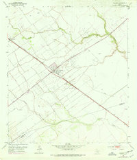
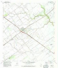
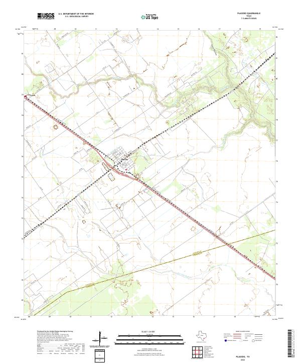
Placedo sits at the heart of this coastal prairie landscape, its grid defined by streets like Marshall St, Bowie St, and Pearl St. The settlement serves as a junction for the regional road network, where FM 616 meets the long diagonal of Old Port Lavaca Rd. This corridor traces the historic path through Victoria County, connecting the town to Dacosta in the northwest and Carr in the northeast. The surrounding terrain is low and hydraulic, characterized by the winding courses of Placedo Cr and Ninemile Cr. As the landscape moves south toward the border with Calhoun County, the drainage patterns shift toward Chocolate Bayou, reflecting the subtle transition from agricultural fields to the marshy coastal system near the Gulf.
Find a feature on this map
45 named features on this map. Tap any name to fly to it.
Don’t see what you’re looking for? This feature index may not catch every label — zoom into the map to look around manually.
Map Details
Editions of this 2022 Placedo Map
This is the sole edition of this map. No revisions or reprints were ever made.
Historical Maps of Dacosta Through Time
3 maps found