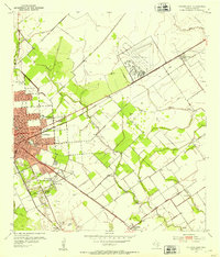
1952 Map of Placedo
USGS Topo · Published 1976About this map
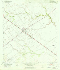
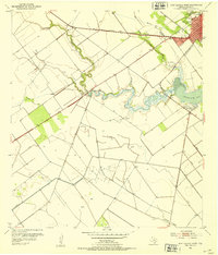
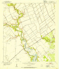
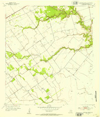
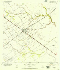
Placedo stands as the central hub of this coastal prairie landscape, where the Missouri Pacific and Southern Pacific railroads intersect. This 1952 topography, updated with revisions from the 1970s, reveals an economy deeply tied to the extraction industry at Placedo Field. The map records a complex network of infrastructure, including a prominent Radio Tower, numerous Oil Tanks, and a Sludge Pit near Carr, illustrating the mid-century industrial footprint on the Victoria County plains.
Find a feature on this map
17 named features on this map. Tap any name to fly to it.
Don’t see what you’re looking for? This feature index may not catch every label — zoom into the map to look around manually.
Map Details
Editions of this 1952 Placedo Map
2 editions found
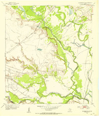
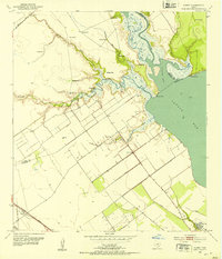
Other maps of this area
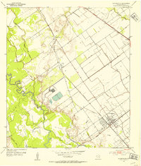
1951 · Bloomington
USGS Topo · 1:24,000
1952 · Bloomington SW
USGS Topo · 1:24,000
1952 · Kamey
USGS Topo · 1:24,000
1952 · Port Lavaca West
USGS Topo · 1:24,000
1952 · La Salle
USGS Topo · 1:24,000
1952 · Marcado Creek
USGS Topo · 1:24,000
1952 · Placedo
USGS Topo · 1:24,000
1952 · Victoria East
USGS Topo · 1:24,000
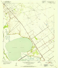
1952 · Green Lake
USGS Topo · 1:24,000

1953 · Beeville
USGS Topo · 1:250,000