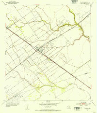
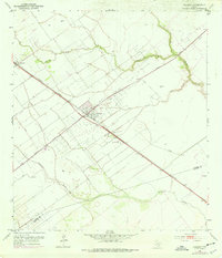
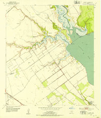
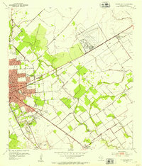
1952 Map of Placedo
USGS Topo · Published 1953About this map
Placedo sits at the nexus of South Texas petroleum production and rail transit in this mid-century survey. The landscape is heavily influenced by the Placedo Field and Oil Field, where networks of access roads and infrastructure like Oil Tanks and a Sludge Pit dot the coastal plain. The Missouri Pacific Southern railroad provides the primary industrial spine, cutting diagonally through the map and connecting the small settlements of Dacosta and Carr.
Find a feature on this map
19 named features on this map. Tap any name to fly to it.
Don’t see what you’re looking for? This feature index may not catch every label — zoom into the map to look around manually.
Map Details
Editions of this 1952 Placedo Map
2 editions found
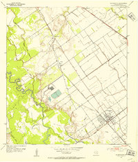
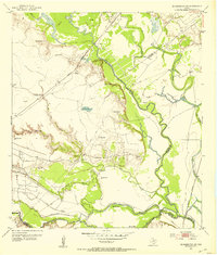
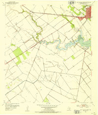
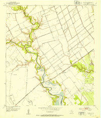
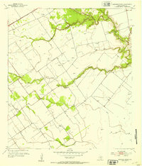
Other maps of this area
1951 · Bloomington
USGS Topo · 1:24,000
1952 · Bloomington SW
USGS Topo · 1:24,000
1952 · Kamey
USGS Topo · 1:24,000
1952 · Port Lavaca West
USGS Topo · 1:24,000
1952 · La Salle
USGS Topo · 1:24,000
1952 · Marcado Creek
USGS Topo · 1:24,000
1952 · Victoria East
USGS Topo · 1:24,000
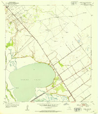
1952 · Green Lake
USGS Topo · 1:24,000

1953 · Beeville
USGS Topo · 1:250,000

1956 · Beeville
USGS Topo · 1:250,000