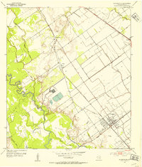
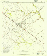
1951 Map of Bloomington
USGS Topo · Published 1953About this map
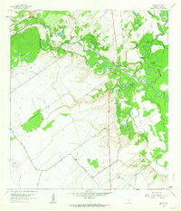
The Guadalupe River meanders through a landscape of heavy industry and agricultural production in the early 1950s. Near the settlement of Bloomington, an extensive oil field with a complex network of pipelines and spoil banks reveals the mid-century petroleum boom that shaped Victoria County. The town site itself is a structured grid adjacent to the Missouri Pacific railroad, which served as the primary transport artery through Dernal and Dacosta.
Find a feature on this map
3 named features on this map. Tap any name to fly to it.
Don’t see what you’re looking for? This feature index may not catch every label — zoom into the map to look around manually.
Map Details
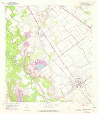
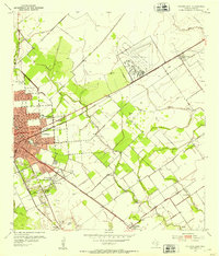
Editions of this 1951 Bloomington Map
2 editions found
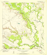
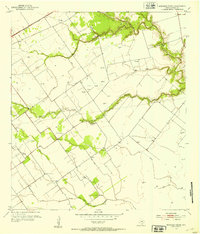
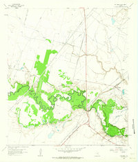
Other maps of this area
1952 · Bloomington SW
USGS Topo · 1:24,000
1952 · Marcado Creek
USGS Topo · 1:24,000
1952 · Placedo
USGS Topo · 1:24,000
1952 · Victoria East
USGS Topo · 1:24,000
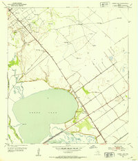
1952 · Green Lake
USGS Topo · 1:24,000

1953 · Beeville
USGS Topo · 1:250,000

1956 · Beeville
USGS Topo · 1:250,000

1960 · Beeville
USGS Topo · 1:250,000
1962 · McFaddin
USGS Topo · 1:24,000
1962 · Raisin
USGS Topo · 1:24,000