1951 Map of Bloomington
USGS Topo · Published 1976About this map
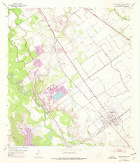
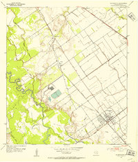
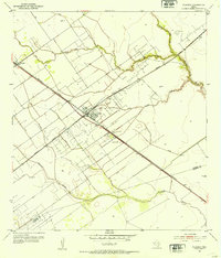
The Bloomington townsite and its surrounding coastal prairie are defined by the convergence of major rail lines and extensive industrial development mid-century. This survey highlights the Missouri Pacific and Southern Pacific railroads as they navigate a landscape of bayous and oil extraction. To the south, the Heyser Oil Field indicates the region's energy-driven economy, while industrial infrastructure including a Substa and several large ponds or tanks dominates the central portion of the sheet.
Find a feature on this map
24 named features on this map. Tap any name to fly to it.
Don’t see what you’re looking for? This feature index may not catch every label — zoom into the map to look around manually.
Map Details
Editions of this 1951 Bloomington Map
2 editions found
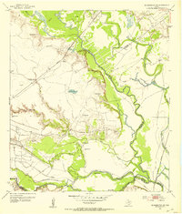
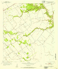
Other maps of this area
1951 · Bloomington
USGS Topo · 1:24,000
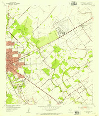
1952 · Bloomington SW
USGS Topo · 1:24,000
1952 · Marcado Creek
USGS Topo · 1:24,000
1952 · Placedo
USGS Topo · 1:24,000
1952 · Victoria East
USGS Topo · 1:24,000
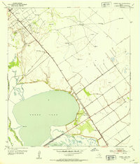
1952 · Green Lake
USGS Topo · 1:24,000

1953 · Beeville
USGS Topo · 1:250,000

1956 · Beeville
USGS Topo · 1:250,000

1960 · Beeville
USGS Topo · 1:250,000
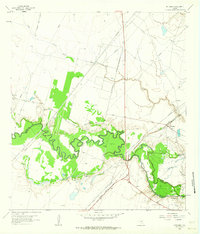
1962 · McFaddin
USGS Topo · 1:24,000