
1962 Map of McFaddin
USGS Topo · Published 1964About this map
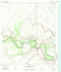
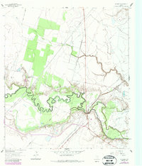
The San Antonio River snakes in tight oxbows across this coastal plain landscape, defining the winding boundary between Victoria and Refugio counties in the early 1960s. This survey captures a rural Texas economy transitioning between traditional ranching and intensive energy extraction, evidenced by the expansive Anaqua Oil Field and Fagan Oil Field dotting the bottomlands. For family historians, the map preserves the exact locations of several small burial grounds, including De la Garza Cem and the Nicholas Fagan Memorial Cem, alongside the Saint Dennis Ch. The Missouri Pacific railroad serves the small settlements of McFaddin and Inari, providing a vital link through the low-lying terrain of Cushman Bayou and Flat Bayou. Large water bodies like Hynes Lake and the winding course of Kuy Creek further illustrate the hydrology of this South Texas region before modern development altered its character.
Find a feature on this map
15 named features on this map. Tap any name to fly to it.
Don’t see what you’re looking for? This feature index may not catch every label — zoom into the map to look around manually.
Map Details
Editions of this 1962 McFaddin Map
Other maps of this area

1951 · Bloomington
USGS Topo · 1:24,000

1952 · Tivoli
USGS Topo · 1:24,000

1952 · Bloomington SW
USGS Topo · 1:24,000

1953 · Beeville
USGS Topo · 1:250,000

1954 · Vidaurri
USGS Topo · 1:62,500

1956 · Beeville
USGS Topo · 1:250,000

1960 · Beeville
USGS Topo · 1:250,000

1962 · Fannin
USGS Topo · 1:24,000

1962 · Lott Lake
USGS Topo · 1:24,000

1962 · Raisin
USGS Topo · 1:24,000