
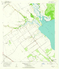
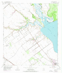
1952 Map of Kamey
USGS Topo · Published 1953About this map
The confluence of Garcitas Creek and Lavaca Bay defines this 1952 topographic study, where the coastal wetlands of the Texas Gulf meet an emerging mid-century energy landscape. The map captures the small settlement of Kamey along the Southern Pacific tracks, while the Missouri Pacific railroad cuts across the northern marshlands. The interior is characterized by a sprawling Gas Field and numerous Flowing Wells, indicating the region's intensive petroleum and natural gas development.
Find a feature on this map
22 named features on this map. Tap any name to fly to it.
Don’t see what you’re looking for? This feature index may not catch every label — zoom into the map to look around manually.
Map Details
Editions of this 1952 Kamey Map
Other maps of this area

1952 · Port Lavaca East
USGS Topo · 1:24,000

1952 · Point Comfort
USGS Topo · 1:24,000

1952 · Port Lavaca West
USGS Topo · 1:24,000

1952 · La Salle
USGS Topo · 1:24,000

1952 · Marcado Creek
USGS Topo · 1:24,000

1952 · Placedo
USGS Topo · 1:24,000

1952 · Lolita
USGS Topo · 1:24,000

1952 · Green Lake
USGS Topo · 1:24,000

1953 · Beeville
USGS Topo · 1:250,000

1956 · Beeville
USGS Topo · 1:250,000