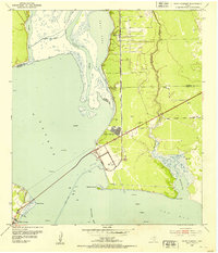
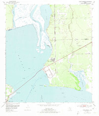
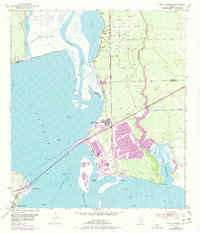
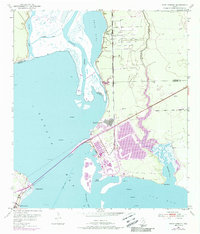
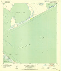
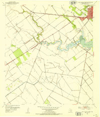
1952 Map of Point Comfort
USGS Topo · Published 1953About this map
The Lavaca River and its expansive bay systems dominate this 1952 topographic study of the Texas Gulf Coast. Industrial development is evident at Point Comfort, where infrastructure such as a Water Tower and several storage tanks support the growing settlement near the Point Comfort and Northern railroad line. The landscape is a transition of water and wetlands, from the sheltered Swan Lake to the tidal reaches of Lavaca Bay and Cox Bay.
Find a feature on this map
26 named features on this map. Tap any name to fly to it.
Don’t see what you’re looking for? This feature index may not catch every label — zoom into the map to look around manually.
Map Details
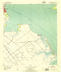
Editions of this 1952 Point Comfort Map
4 editions found
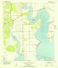
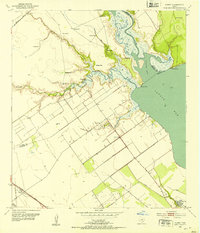
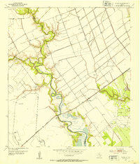
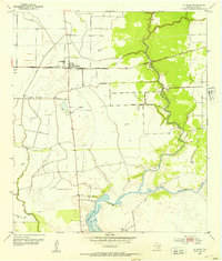
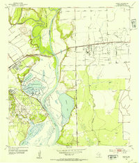
Other maps of this area
1951 · Keller Bay
USGS Topo · 1:24,000
1952 · Port Lavaca East
USGS Topo · 1:24,000
1952 · Olivia
USGS Topo · 1:24,000
1952 · Kamey
USGS Topo · 1:24,000
1952 · Port Lavaca West
USGS Topo · 1:24,000
1952 · La Salle
USGS Topo · 1:24,000
1952 · La Ward
USGS Topo · 1:24,000
1952 · Lolita
USGS Topo · 1:24,000

1953 · Beeville
USGS Topo · 1:250,000

1956 · Beeville
USGS Topo · 1:250,000