
1951 Map of Keller Bay
USGS Topo · Published 1953About this map
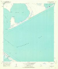
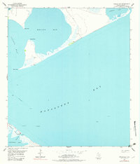
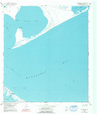
Matagorda Bay and its complex network of secondary estuaries dominate this mid-century coastal survey. The geography is characterized by narrow barrier-like features and low-lying wetlands, most notably Indianola Island, which sits between the bay and Powderhorn Lake. This area, deeply tied to Texas maritime history, shows a landscape defined by water movement, with Indianola Bayou and Powderhorn Bayou carving through the shoreline.
Find a feature on this map
17 named features on this map. Tap any name to fly to it.
Don’t see what you’re looking for? This feature index may not catch every label — zoom into the map to look around manually.
Map Details
Editions of this 1951 Keller Bay Map
4 editions found
Other maps of this area

1952 · Port Lavaca East
USGS Topo · 1:24,000

1952 · Point Comfort
USGS Topo · 1:24,000

1952 · Olivia
USGS Topo · 1:24,000

1952 · Seadrift NE
USGS Topo · 1:24,000

1952 · Turtle Bay
USGS Topo · 1:24,000

1952 · Decros Point
USGS Topo · 1:24,000

1952 · Port O'Connor
USGS Topo · 1:24,000

1953 · Beeville
USGS Topo · 1:250,000

1956 · Beeville
USGS Topo · 1:250,000

1960 · Beeville
USGS Topo · 1:250,000