
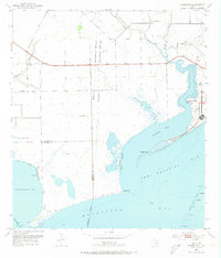
1952 Map of Turtle Bay
USGS Topo · Published 1953About this map
Camp Hulen and the adjacent Palacios Municipal Airport dominate the eastern shoreline of Turtle Bay in this early 1950s coastal survey. The landscape is a transition of salt marshes and tidal flats, where Buttermilk Slough drains into the bay near Turtle Point. Inland, the terrain is marked by family-named landmarks and small water bodies such as Sartwelle Lakes and Piper Lakes, alongside the Carancahua Ch situated west of Fivemile Draw.
Find a feature on this map
34 named features on this map. Tap any name to fly to it.
Don’t see what you’re looking for? This feature index may not catch every label — zoom into the map to look around manually.
Map Details
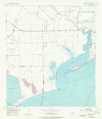
Editions of this 1952 Turtle Bay Map
Other maps of this area

1951 · Keller Bay
USGS Topo · 1:24,000

1952 · Palacios Point
USGS Topo · 1:24,000

1952 · Palacios
USGS Topo · 1:24,000

1952 · Olivia
USGS Topo · 1:24,000

1952 · Francitas
USGS Topo · 1:24,000

1952 · Blessing
USGS Topo · 1:24,000

1952 · La Ward
USGS Topo · 1:24,000

1953 · Beeville
USGS Topo · 1:250,000

1956 · Beeville
USGS Topo · 1:250,000

1960 · Beeville
USGS Topo · 1:250,000
Featured Places
- Palacios, TX
- Schicke Point Community, TX
- El Campo Club Community, TX
- Matagorda County, TX
- Calhoun County, TX