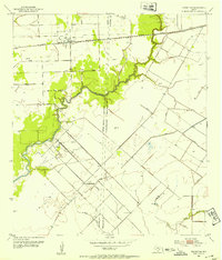
1952 Map of Blessing
USGS Topo · Published 1953About this map
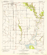
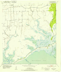
Blessing and the surrounding Matagorda County coastal plains appear here during a period of agricultural and industrial expansion in the early 1950s. The landscape is defined by the intersection of the Missouri Pacific and Southern Pacific railroads, which facilitated the movement of goods and people across this prairie region. To the south, the terrain descends toward Tres Palacios Bay, where numerous waterways like Tres Palacios Creek and Turtle Creek meander through a system of levees. Significant local landmarks include Blessing Sch and several family-named burial grounds such as Grimes Cem and Ashby Cem. The map also documents the emerging energy landscape of the Texas coast, dotted with a Gas Plant, various Gas Well sites, and Gas Tanks, illustrating the era's reliance on subterranean resources alongside traditional rail-and-river transport.
Find a feature on this map
24 named features on this map. Tap any name to fly to it.
Don’t see what you’re looking for? This feature index may not catch every label — zoom into the map to look around manually.
Map Details
Editions of this 1952 Blessing Map
2 editions found

Other maps of this area
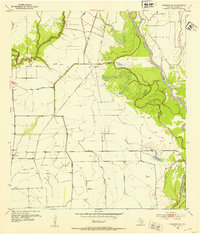
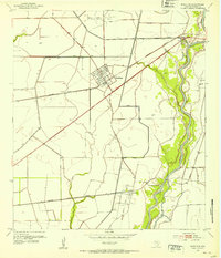
1952 · Blessing SE
USGS Topo · 1:24,000
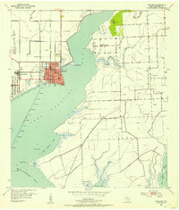
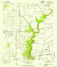
1952 · Palacios
USGS Topo · 1:24,000
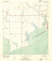
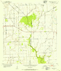
1952 · Turtle Bay
USGS Topo · 1:24,000
1952 · Francitas
USGS Topo · 1:24,000
1952 · Markham
USGS Topo · 1:24,000
1952 · Francitas NE
USGS Topo · 1:24,000
1952 · Midfield
USGS Topo · 1:24,000
1952 · Palacios NE
USGS Topo · 1:24,000

1953 · Beeville
USGS Topo · 1:250,000

1956 · Beeville
USGS Topo · 1:250,000