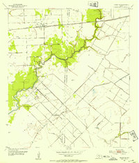
1952 Map of Francitas NE
USGS Topo · Published 1953About this map
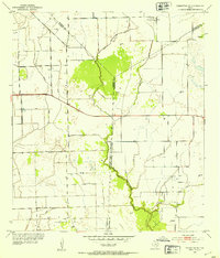
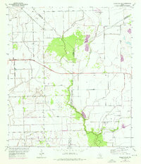
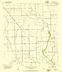
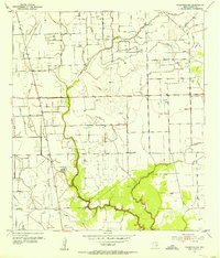
Petroleum infrastructure defines the coastal prairie landscape of this 1952 survey, where the North Francitas Oil Field and Little Kentucky Field underscore the regional industrial activity of the early 1950s. The map captures a transition in land use, marked by a network of drainage structures and an extensive Levee system designed to manage water across the flat terrain. Along the meandering path of East Carancahua Creek, an Indefinite Boundary Survey of 1907 reflects a long-standing cartographic challenge at the intersection of Jackson and Matagorda Counties. Isolated Oil Wells, a Pumping Station, and clustered Oil Tanks are scattered throughout, linked by State Highway 111. This area, which also includes the Midfield Field, demonstrates how the mid-century oil boom integrated with the hydraulic engineering of the Gulf Coast watershed.
Find a feature on this map
14 named features on this map. Tap any name to fly to it.
Don’t see what you’re looking for? This feature index may not catch every label — zoom into the map to look around manually.
Map Details
Editions of this 1952 Francitas NE Map
2 editions found
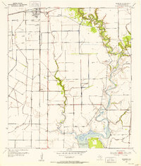
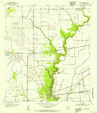
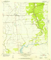
Other maps of this area
1951 · Danevang
USGS Topo · 1:24,000
1952 · Francitas NW
USGS Topo · 1:24,000
1952 · Francitas
USGS Topo · 1:24,000
1952 · Blessing
USGS Topo · 1:24,000
1952 · Midfield
USGS Topo · 1:24,000
1952 · La Ward
USGS Topo · 1:24,000

1953 · Beeville
USGS Topo · 1:250,000

1953 · Seguin
USGS Topo · 1:250,000

1956 · Beeville
USGS Topo · 1:250,000

1958 · Seguin
USGS Topo · 1:250,000