1952 Map of Midfield
USGS Topo · Published 1953About this map
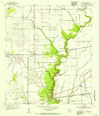
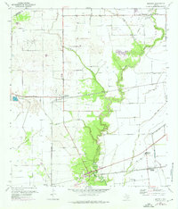
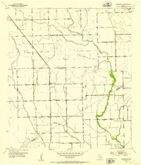
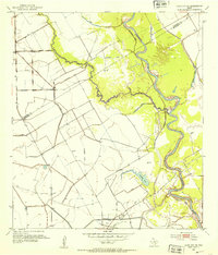
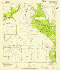
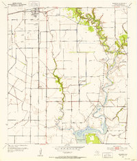
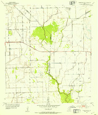
Midfield sits at the intersection of the Southern Pacific railroad and State Route 71, serving as a central point in this mid-century agricultural and industrial landscape. The terrain is defined by a sophisticated network of water management features, including extensive levee systems and a spoil bank flanking Palacios Creek. These structures suggest a concerted effort to control the coastal plains drainage for both farming and the active Oil Field operations located near the Missouri Pacific line.
Find a feature on this map
23 named features on this map. Tap any name to fly to it.
Don’t see what you’re looking for? This feature index may not catch every label — zoom into the map to look around manually.
Map Details
Editions of this 1952 Midfield Map
2 editions found
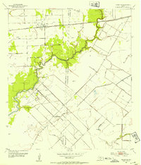
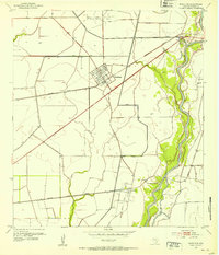
Other maps of this area
1951 · Danevang
USGS Topo · 1:24,000
1952 · Lane City SE
USGS Topo · 1:24,000
1952 · Blessing SE
USGS Topo · 1:24,000
1952 · Francitas
USGS Topo · 1:24,000
1952 · Blessing
USGS Topo · 1:24,000
1952 · Markham
USGS Topo · 1:24,000
1952 · Francitas NE
USGS Topo · 1:24,000

1953 · Beeville
USGS Topo · 1:250,000

1953 · Seguin
USGS Topo · 1:250,000

1956 · Beeville
USGS Topo · 1:250,000