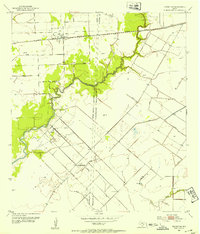
1952 Map of Midfield
USGS Topo · Published 1976About this map
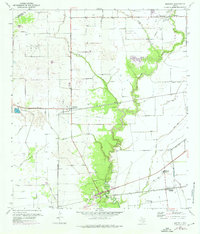
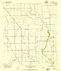
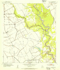
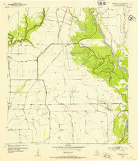
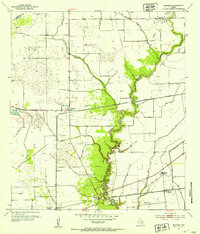
Tres Palacios River winds southward through this coastal prairie landscape, anchoring a network of drainage creeks and agricultural settlements in western Matagorda County. The mid-century economy is clearly defined by the infrastructure of the Oil Field and the heavy presence of two major railroads: the Southern Pacific and the Missouri Pacific. These rail lines supported the growth of local shipping points like Midfield and Elmaton, where small-scale settlement patterns are evident near rural crossroads.
Find a feature on this map
20 named features on this map. Tap any name to fly to it.
Don’t see what you’re looking for? This feature index may not catch every label — zoom into the map to look around manually.
Map Details
Editions of this 1952 Midfield Map
2 editions found
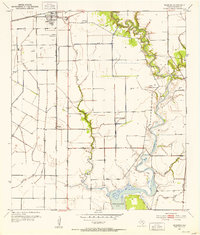
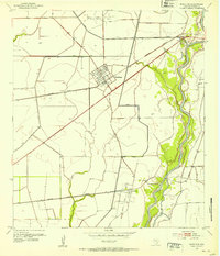
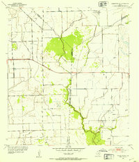
Other maps of this area
1951 · Danevang
USGS Topo · 1:24,000
1952 · Lane City SE
USGS Topo · 1:24,000
1952 · Blessing SE
USGS Topo · 1:24,000
1952 · Francitas
USGS Topo · 1:24,000
1952 · Blessing
USGS Topo · 1:24,000
1952 · Markham
USGS Topo · 1:24,000
1952 · Francitas NE
USGS Topo · 1:24,000
1952 · Midfield
USGS Topo · 1:24,000

1953 · Beeville
USGS Topo · 1:250,000

1953 · Seguin
USGS Topo · 1:250,000