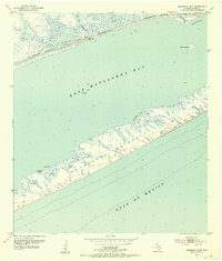
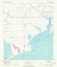
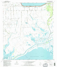
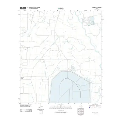
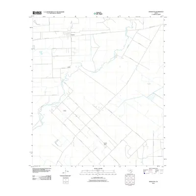
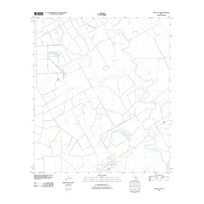
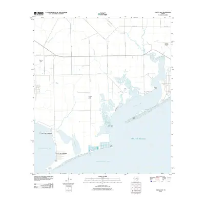
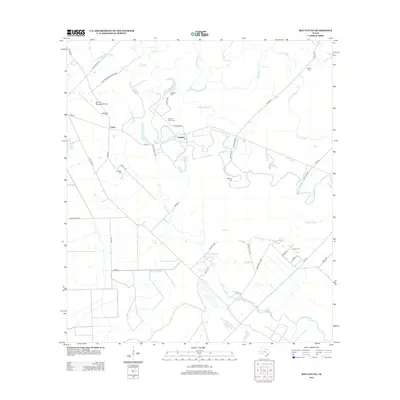
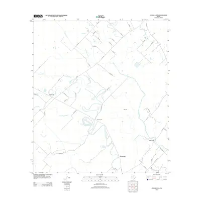
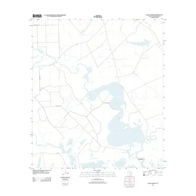
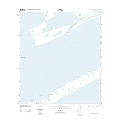
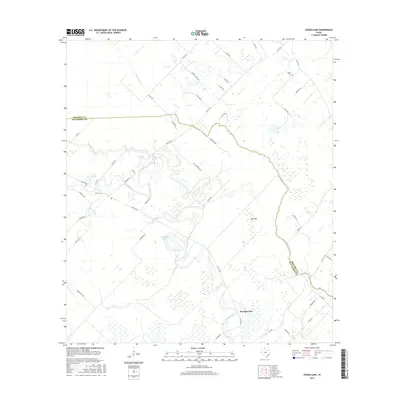
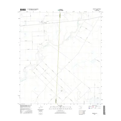
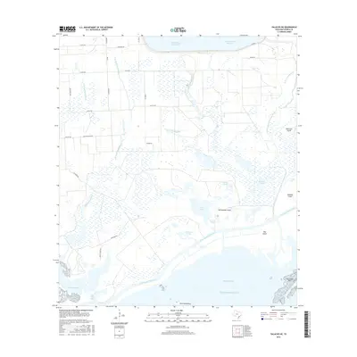
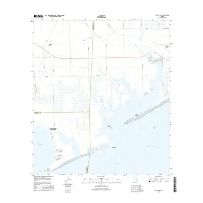
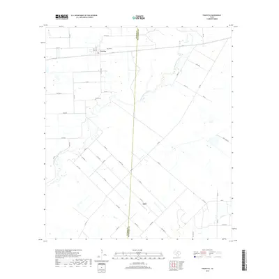
1952 Map of Francitas
USGS Topo · Published 1953About this map
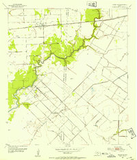
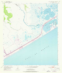
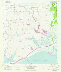
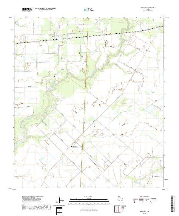
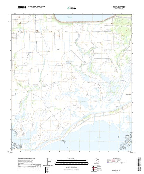
East Carancahua Creek winds through the coastal plains of the Texas Gulf Coast, defining the boundary between Jackson and Matagorda counties. In the early 1950s, this area reflects a landscape increasingly shaped by the petroleum industry, evidenced by the extensive Francitas Field and infrastructure including a Gas Plant, Evaporators, and multiple oil and gas wells. The settlement of Francitas sits at the northern end of the map, served by the Missouri Pacific railroad, which provided a vital transportation link for the region's agricultural and industrial output.
Find a feature on this map
19 named features on this map. Tap any name to fly to it.
Don’t see what you’re looking for? This feature index may not catch every label — zoom into the map to look around manually.
Map Details
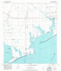
Editions of this 1952 Francitas Map
2 editions found
Historical Maps of Francitas Through Time
114 maps found
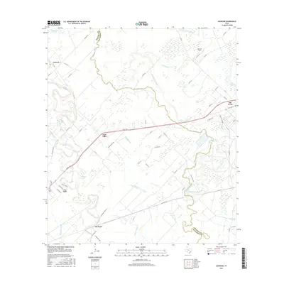
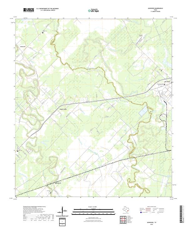
1952 Ashwood
Matagorda County, TX
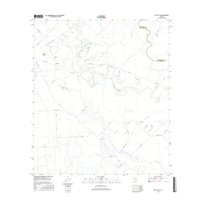
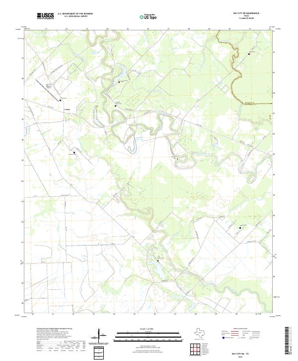
1952 Bay City NE
Matagorda County, TX
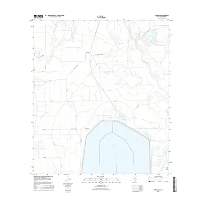
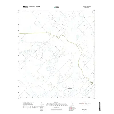
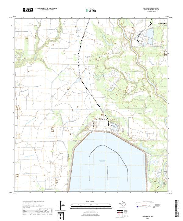
1952 Blessing SE
Matagorda County, TX
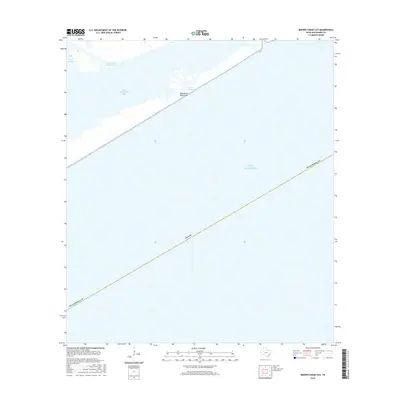
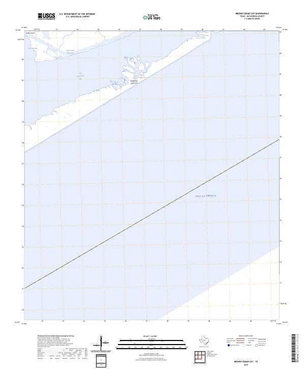
1952 Brown Cedar Cut
Matagorda County, TX
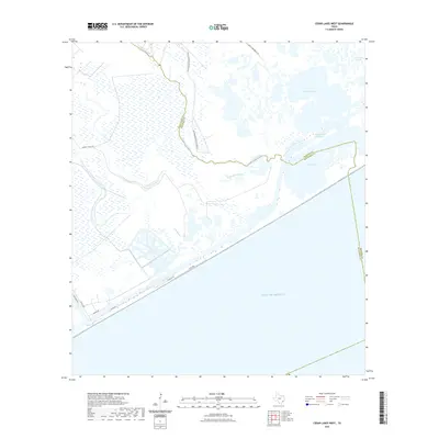
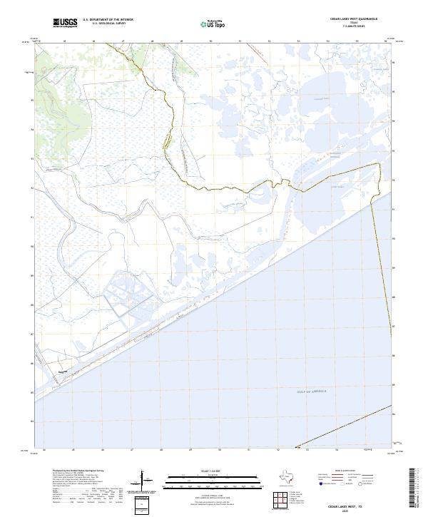
1952 Cedar Lakes West
Matagorda County, TX
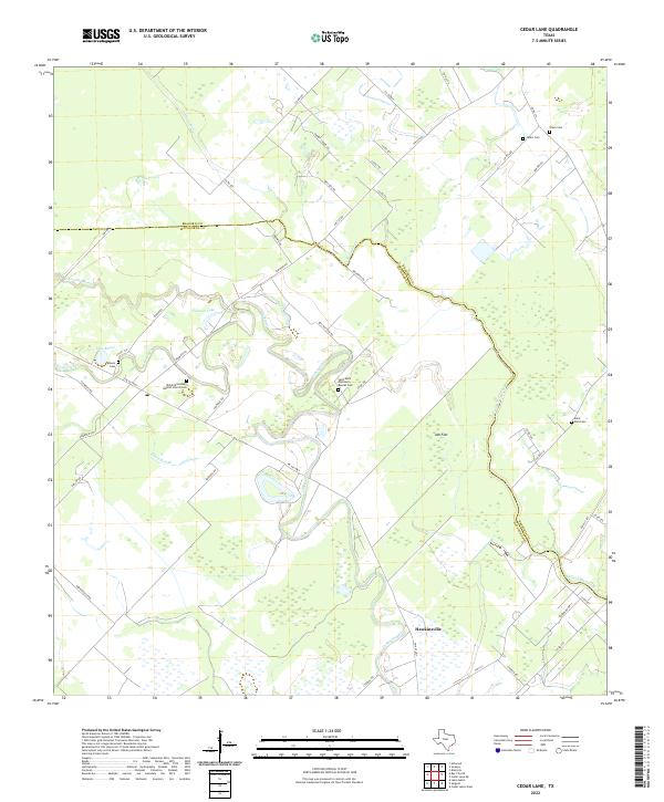
1952 Cedar Lane
Matagorda County, TX
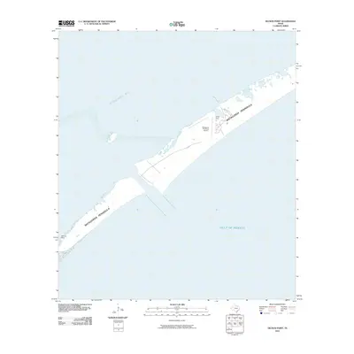
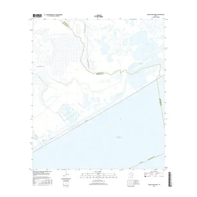
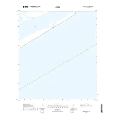
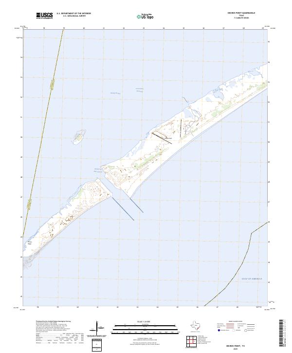
1952 Decros Point
Matagorda County, TX
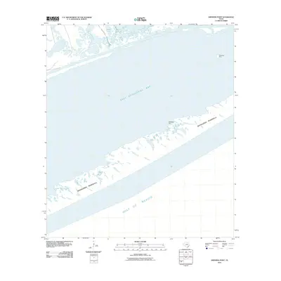
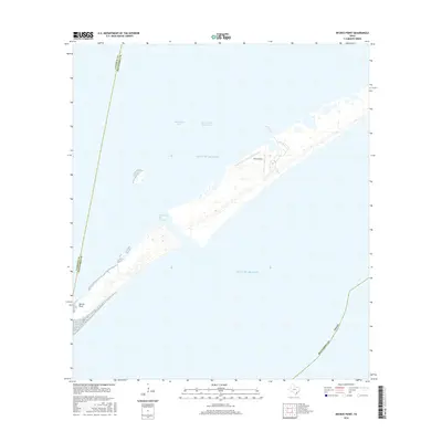
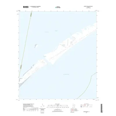
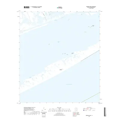
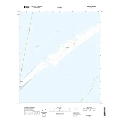
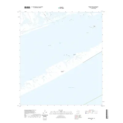
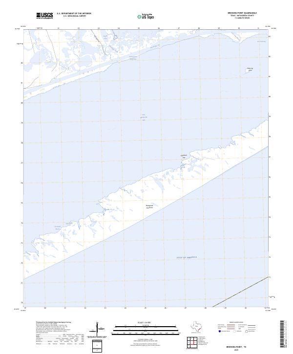
1952 Dressing Point
Matagorda County, TX
1952 Francitas
Matagorda County, TX
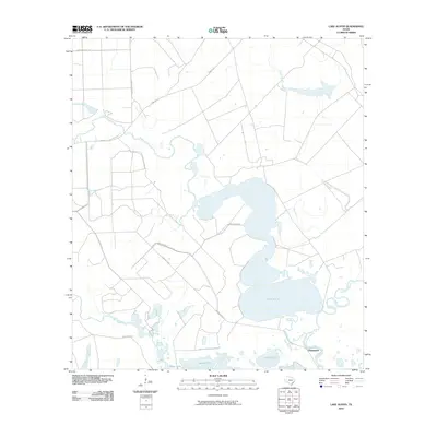
1952 Lake Austin
Matagorda County, TX
1952 Lane City SE
Matagorda County, TX
1952 Matagorda SW
Matagorda County, TX
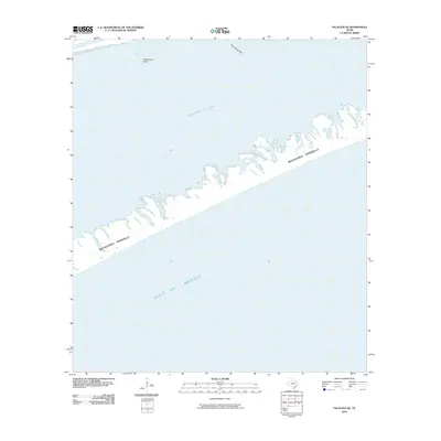
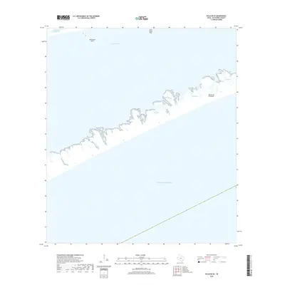
1952 Palacios NE
Matagorda County, TX
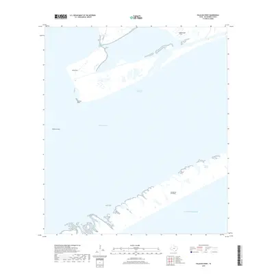
1952 Palacios Point
Matagorda County, TX
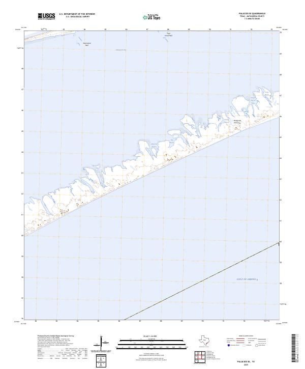
1952 Palacios SE
Matagorda County, TX
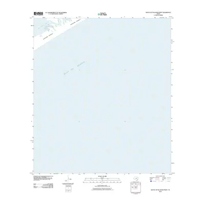
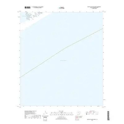
1952 South of Palacios Point
Matagorda County, TX
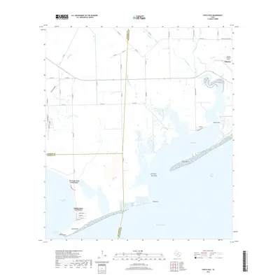
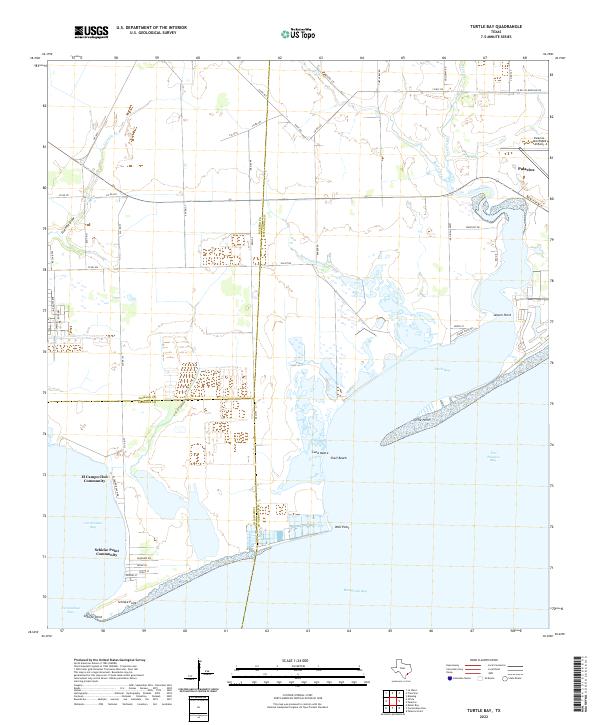
1952 Turtle Bay
Matagorda County, TX
1995 Blessing SE
Matagorda County, TX
1995 Francitas
Matagorda County, TX
1995 Palacios NE
Matagorda County, TX
1995 Turtle Bay
Matagorda County, TX
2010 Ashwood
Matagorda County, TX
2010 Bay City NE
Matagorda County, TX
2010 Blessing SE
Matagorda County, TX
2010 Brown Cedar Cut
Matagorda County, TX
2010 Cedar Lakes West
Matagorda County, TX
2010 Cedar Lane
Matagorda County, TX
2010 Decros Point
Matagorda County, TX
2010 Dressing Point
Matagorda County, TX
2010 Francitas
Matagorda County, TX
2010 Lake Austin
Matagorda County, TX
2010 Lane City SE
Matagorda County, TX
2010 Matagorda SW
Matagorda County, TX
2010 Palacios NE
Matagorda County, TX
2010 Palacios Point
Matagorda County, TX
2010 Palacios SE
Matagorda County, TX
2010 South of Palacios Point
Matagorda County, TX
2010 Turtle Bay
Matagorda County, TX
2013 Ashwood
Matagorda County, TX
2013 Bay City NE
Matagorda County, TX
2013 Blessing SE
Matagorda County, TX
2013 Brown Cedar Cut
Matagorda County, TX
2013 Cedar Lakes West
Matagorda County, TX
2013 Cedar Lane
Matagorda County, TX
2013 Decros Point
Matagorda County, TX
2013 Dressing Point
Matagorda County, TX
2013 Francitas
Matagorda County, TX
2013 Lake Austin
Matagorda County, TX
2013 Lane City SE
Matagorda County, TX
2013 Matagorda SW
Matagorda County, TX
2013 Palacios NE
Matagorda County, TX
2013 Palacios Point
Matagorda County, TX
2013 Palacios SE
Matagorda County, TX
2013 South of Palacios Point
Matagorda County, TX
2013 Turtle Bay
Matagorda County, TX
2016 Ashwood
Matagorda County, TX
2016 Bay City NE
Matagorda County, TX
2016 Blessing SE
Matagorda County, TX
2016 Brown Cedar Cut
Matagorda County, TX
2016 Cedar Lakes West
Matagorda County, TX
2016 Cedar Lane
Matagorda County, TX
2016 Decros Point
Matagorda County, TX
2016 Dressing Point
Matagorda County, TX
2016 Francitas
Matagorda County, TX
2016 Lake Austin
Matagorda County, TX
2016 Lane City SE
Matagorda County, TX
2016 Matagorda SW
Matagorda County, TX
2016 Palacios NE
Matagorda County, TX
2016 Palacios Point
Matagorda County, TX
2016 Palacios SE
Matagorda County, TX
2016 South of Palacios Point
Matagorda County, TX
2016 Turtle Bay
Matagorda County, TX
2019 Ashwood
Matagorda County, TX
2019 Bay City NE
Matagorda County, TX
2019 Blessing SE
Matagorda County, TX
2019 Brown Cedar Cut
Matagorda County, TX

2019 Cedar Lakes West
Matagorda County, TX
2019 Cedar Lane
Matagorda County, TX
2019 Decros Point
Matagorda County, TX
2019 Dressing Point
Matagorda County, TX
2019 Francitas
Matagorda County, TX
2019 Lake Austin
Matagorda County, TX
2019 Lane City SE
Matagorda County, TX

2019 Matagorda SW
Matagorda County, TX
2019 Palacios NE
Matagorda County, TX
2019 Palacios Point
Matagorda County, TX
2019 Palacios SE
Matagorda County, TX
2019 South of Palacios Point
Matagorda County, TX
2019 Turtle Bay
Matagorda County, TX
2022 Ashwood
Matagorda County, TX
2022 Bay City NE
Matagorda County, TX
2022 Blessing SE
Matagorda County, TX
2022 Brown Cedar Cut
Matagorda County, TX
2022 Cedar Lakes West
Matagorda County, TX
2022 Cedar Lane
Matagorda County, TX
2022 Decros Point
Matagorda County, TX
2022 Dressing Point
Matagorda County, TX
2022 Francitas
Matagorda County, TX
2022 Lake Austin
Matagorda County, TX
2022 Lane City SE
Matagorda County, TX
2022 Matagorda SW
Matagorda County, TX
2022 Palacios NE
Matagorda County, TX
2022 Palacios Point
Matagorda County, TX
2022 Palacios SE
Matagorda County, TX
2022 South of Palacios Point
Matagorda County, TX
2022 Turtle Bay
Matagorda County, TX
2025 Brown Cedar Cut
Matagorda County, TX
2025 Cedar Lakes West
Matagorda County, TX
2025 Decros Point
Matagorda County, TX
2025 Dressing Point
Matagorda County, TX
2025 Matagorda SW
Matagorda County, TX
2025 Palacios Point
Matagorda County, TX
2025 Palacios SE
Matagorda County, TX
2025 South of Palacios Point
Matagorda County, TX