Old Maps of Blessing, Texas
Explore 12 old maps of Blessing, spanning from 1952 to today. These high-resolution historic maps reveal how streets, neighborhoods, landmarks, and natural features evolved over time — perfect for genealogy, metal detecting, research, and local history exploration.
What you can do with these maps:
- See how Blessing changed over time: Compare historical maps to modern-day views to trace roads, homesites, rail lines & more.
- View detailed metadata: Each map includes creators, publishers, year, scale, and archive source.
- Overlay maps with satellite & LiDAR: Visualize the past alongside modern tools to explore terrain & human change.
- Trusted historical sources: Maps sourced from the USGS, Library of Congress, and other archives.
- Access maps your way: View online, download high-res files, or order prints for personal or research use.
Start exploring old maps of Blessing to uncover forgotten places, hidden landmarks, and the deep history beneath your feet.
Blessing, TX maps
(12)- 1952 Map of Blessing, 1953 Print
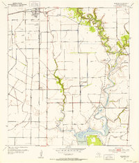 1952 Blessing1953 Print · USGSCoastal Texas in the early fifties shows a landscape of rail junctions and emerging energy fields north of the bay. Genealogists can locate Blessing Cem and Ashby Cem, or trace the rail lines through the settlement at Pheasant.2 unique versions available
 - 1953 Map of Beeville
 1953 Beeville1953 Print · USGSThe Texas Coastal Bend in the early fifties shows a landscape of growing regional hubs and vital maritime corridors. Trace the rail-and-river economy through Goliad, locate the Matagorda Lighthouse, and explore the sprawling Aransas National Wildlife Refuge.
 - 1956 Map of Beeville
 1956 Beeville1956 Print · USGSCoastal Texas and the brush country interior are shown in the mid-fifties, from the coastal bays to the inland oil fields. Trace the old rail lines of the Southern Pacific RR or locate the historic Matagorda Lighthouse and the Aransas National Wildlife Refuge.2 unique versions available
 - 1960 Map of Beeville
 1960 Beeville1960 Print · USGSCoastal Texas in the mid-fifties reveals a landscape of growing towns and vital military outposts like Foster AFB. Researchers can trace old rail lines including the Missouri Pacific and explore the vast Aransas National Wildlife Refuge.
 - 1972 Map of Blessing, 1985 Print
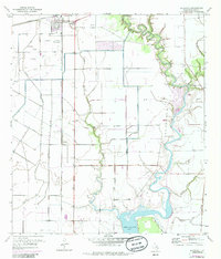 1972 Blessing1985 Print · USGSThe Matagorda County coastline in the early seventies shows a landscape defined by rail junctions and river bends. Genealogists and local historians can trace the foundations of Blessing through landmarks like the Blessing Cem, Grimes Cem, and the Prairie Center Mission.
 - 1984 Map of Port Lavaca
 1984 Port Lavaca1984 Print · USGSCoastal Texas in the mid-1980s reveals a landscape of industrial waterways and historic rail corridors. Genealogists and historians can trace family roots through settlements like Bloomington and La Ward or explore the transit networks of the Southern Pacific and Missouri Pacific.
 - 1995 Map of Blessing
 1995 Blessing1995 Print · USGSThe coastal prairie of Matagorda County is captured here in the mid-1990s, where the Tres Palacios River meets the bay. Genealogists and local historians can locate several rural burial sites, including Grimes Cem and Ashby Cem, or trace the path of the Old Railroad Grade.
 - 2010 Map of Blessing, 2010 Print
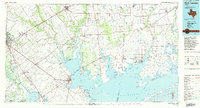
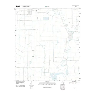 2010 Blessing2010 Print · USGSCovers Blessing, including Pheasant, Matagorda County, and other nearby areas
 - 2013 Map of Blessing, 2013 Print
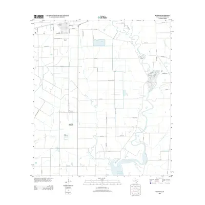 2013 Blessing2013 Print · USGSCovers Blessing, including Pheasant, Matagorda County, and other nearby areas
 - 2016 Map of Blessing, 2016 Print
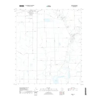
 2016 Blessing2016 Print · USGSCovers Blessing, including Pheasant, Matagorda County, and other nearby areas
 - 2019 Map of Blessing, 2019 Print
 2019 Blessing2019 Print · USGSCovers Blessing, including Pheasant, Matagorda County, and other nearby areas
 - 2022 Map of Blessing, 2022 Print
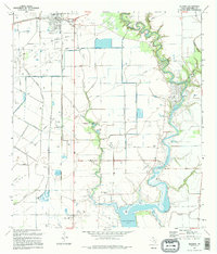
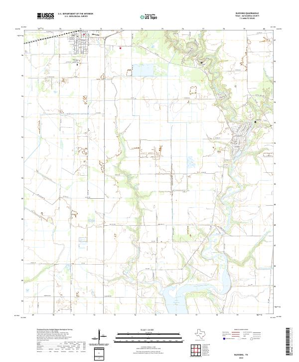 2022 Blessing2022 Print · USGSThe coastal prairie of Matagorda County comes into focus in this contemporary survey of Blessing and its riverine surroundings. Researchers can trace family history through local landmarks like Grimes Cem, Ashby Cem, and Saint Peters Catholic Church.
End of results
Showing maps 1-12 of 12
Top cities near Blessing
Frequently asked questions
- What are the different types of historical maps available for Blessing?
- What is the oldest map of Blessing?
- Where can I purchase historical maps of Blessing for my home or office?
- Where can I download high-res historical maps of Blessing?
- Are there historical topographic maps available for Blessing?
- Is there historical aerial imagery available for Blessing?
- Where are historical maps of Blessing sourced from?