
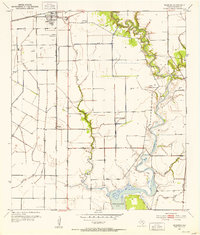
1952 Map of Blessing
USGS Topo · Published 1976About this map
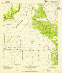
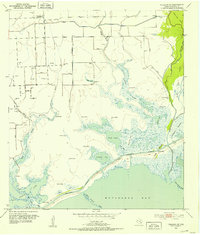
Blessing serves as a primary hub in this coastal Texas landscape, where the Southern Pacific railroad line intersects with an extensive network of drainage levees and irrigation systems. The map illustrates a transitional period for Matagorda County, documenting agricultural expansion alongside the burgeoning oil and gas industry of the mid-20th century. While the grid of Blessing is well-defined, smaller community markers like the Pheasant settlement and the Prairie Center Mission provide vital reference points for local history.
Find a feature on this map
17 named features on this map. Tap any name to fly to it.
Don’t see what you’re looking for? This feature index may not catch every label — zoom into the map to look around manually.
Map Details
Editions of this 1952 Blessing Map
2 editions found
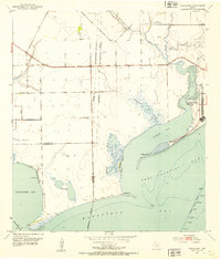
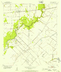
Other maps of this area
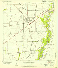
1952 · Blessing SE
USGS Topo · 1:24,000
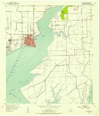
1952 · Palacios
USGS Topo · 1:24,000
1952 · Turtle Bay
USGS Topo · 1:24,000
1952 · Francitas
USGS Topo · 1:24,000
1952 · Blessing
USGS Topo · 1:24,000
1952 · Markham
USGS Topo · 1:24,000
1952 · Francitas NE
USGS Topo · 1:24,000
1952 · Midfield
USGS Topo · 1:24,000
1952 · Palacios NE
USGS Topo · 1:24,000

1953 · Beeville
USGS Topo · 1:250,000