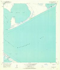
1951 Map of Keller Bay
USGS Topo · Published 1963About this map
Matagorda Bay and its complex network of secondary inlets dominate this 1951 topographic survey of the Calhoun County coast. The geography is defined by a series of narrow peninsulas and marshy points, such as Rupert Point and Sand Point, which separate the deeper waters from Keller Bay and Lavaca Bay. These shallow estuaries were vital to the local fishing and maritime economy of the mid-century, evidenced by the numerous soundings and hydrographic details sourced from USC&GS charts.
Find a feature on this map
15 named features on this map. Tap any name to fly to it.
Don’t see what you’re looking for? This feature index may not catch every label — zoom into the map to look around manually.
Map Details
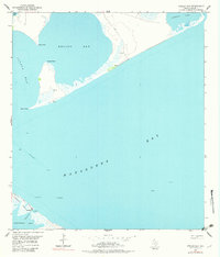
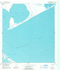
Editions of this 1951 Keller Bay Map
4 editions found
Other maps of this area

1951 · Keller Bay
USGS Topo · 1:24,000

1952 · Port Lavaca East
USGS Topo · 1:24,000

1952 · Point Comfort
USGS Topo · 1:24,000

1952 · Olivia
USGS Topo · 1:24,000

1952 · Seadrift NE
USGS Topo · 1:24,000

1952 · Turtle Bay
USGS Topo · 1:24,000

1952 · Decros Point
USGS Topo · 1:24,000

1952 · Port O'Connor
USGS Topo · 1:24,000

1953 · Beeville
USGS Topo · 1:250,000

1956 · Beeville
USGS Topo · 1:250,000