
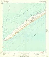
1952 Map of Decros Point
USGS Topo · Published 1953About this map
Matagorda Peninsula stretches across this mid-century survey, separating the open Gulf of Mexico from the shallow reaches of Matagorda Bay. The landscape is defined by its shifting sands and coastal infrastructure, notably the Intracoastal Waterway with its maintained project depth of 12 feet. At the southwestern tip of the peninsula lies Decros Point, a remote coastal landmark marking the entrance to the bay.
Find a feature on this map
13 named features on this map. Tap any name to fly to it.
Don’t see what you’re looking for? This feature index may not catch every label — zoom into the map to look around manually.
Map Details
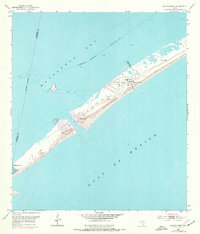
Editions of this 1952 Decros Point Map
3 editions found
Other maps of this area

1951 · Keller Bay
USGS Topo · 1:24,000

1952 · Palacios Point
USGS Topo · 1:24,000

1952 · Pass Cavallo SW
USGS Topo · 1:24,000

1952 · South of Palacios Point
USGS Topo · 1:24,000

1952 · Port O'Connor
USGS Topo · 1:24,000

1953 · Beeville
USGS Topo · 1:250,000

1956 · Beeville
USGS Topo · 1:250,000

1960 · Beeville
USGS Topo · 1:250,000
1980 · Carancahua Pass
USGS Topo · 1:24,000
1983 · San Antonio Bay
USGS Topo · 1:100,000