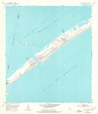
1952 Map of Decros Point
USGS Topo · Published 1976About this map
Matagorda Peninsula separates the open waters of the Gulf of Mexico from the sheltered reaches of Matagorda Bay, providing a critical barrier for the Texas coastline. This 1952 topographic survey reveals a landscape shaped by maritime navigation and recreational development, centered on the Matagorda Club and its associated Clubhouse. The peninsula's remote geography necessitated specialized infrastructure, notably the Matagorda Peninsula Airport, which served as a primary access point for the area.
Find a feature on this map
14 named features on this map. Tap any name to fly to it.
Don’t see what you’re looking for? This feature index may not catch every label — zoom into the map to look around manually.
Map Details
Editions of this 1952 Decros Point Map
3 editions found
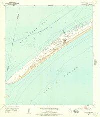
Other maps of this area

1951 · Keller Bay
USGS Topo · 1:24,000

1952 · Palacios Point
USGS Topo · 1:24,000

1952 · Pass Cavallo SW
USGS Topo · 1:24,000

1952 · South of Palacios Point
USGS Topo · 1:24,000

1952 · Decros Point
USGS Topo · 1:24,000

1952 · Port O'Connor
USGS Topo · 1:24,000

1953 · Beeville
USGS Topo · 1:250,000

1956 · Beeville
USGS Topo · 1:250,000

1960 · Beeville
USGS Topo · 1:250,000
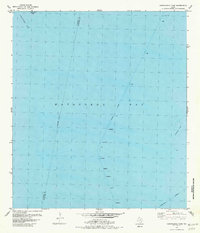
1980 · Carancahua Pass
USGS Topo · 1:24,000