
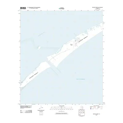
1952 Map of South of Palacios Point
USGS Topo · Published 1953About this map
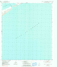
Matagorda Peninsula stands as the primary topographical feature on this coastal sheet, separating the shallow waters of Matagorda Bay from the open Gulf of Mexico. Surveyed in the early 1950s using a combination of 1940s aerial photography and plane-table field work, the map captures a largely undeveloped shoreline where navigation and basic land use predominate. The presence of a Windmill and a survey marker at BM 9 denote the rare man-made structures on this narrow spit of land. Much of the sheet focuses on hydrographic data, detailing the depths and channels of Greens Bayou and the surrounding marine environment. This document is particularly useful for coastal researchers looking to establish a baseline for shoreline morphology before more recent decades of erosion and Gulf storms altered the peninsula's profile.
Find a feature on this map
6 named features on this map. Tap any name to fly to it.
Don’t see what you’re looking for? This feature index may not catch every label — zoom into the map to look around manually.
Map Details
Editions of this 1952 South of Palacios Point Map
2 editions found
Other maps of this area

1952 · Palacios SE
USGS Topo · 1:24,000

1952 · Palacios Point
USGS Topo · 1:24,000

1952 · Decros Point
USGS Topo · 1:24,000

1953 · Beeville
USGS Topo · 1:250,000

1956 · Beeville
USGS Topo · 1:250,000

1960 · Beeville
USGS Topo · 1:250,000
1980 · Carancahua Pass
USGS Topo · 1:24,000
1983 · San Antonio Bay
USGS Topo · 1:100,000
1984 · Port Lavaca
USGS Topo · 1:100,000
2010 · Decros Point
USGS Topo · 1:24,000