1952 Map of Point Comfort
USGS Topo · Published 1974About this map
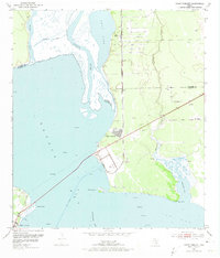
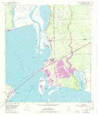
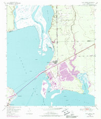
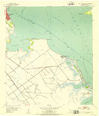
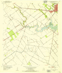
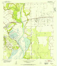
Point Comfort emerges as an industrial and maritime hub along the eastern edge of Lavaca Bay in the early 1950s. This survey, compiled from late 1940s aerial photography, captures the critical infrastructure of the era, including a Water Tower, large Oil Tanks, and a dedicated Sewage Disposal system. The Point Comfort and Northern railroad provides the vital link between these coastal facilities and the interior, crossing the landscape toward the Jackson and Calhoun County line.
Find a feature on this map
24 named features on this map. Tap any name to fly to it.
Don’t see what you’re looking for? This feature index may not catch every label — zoom into the map to look around manually.
Map Details
Editions of this 1952 Point Comfort Map
4 editions found
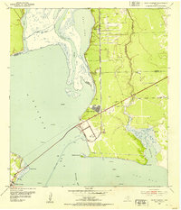
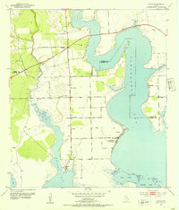
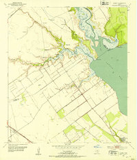
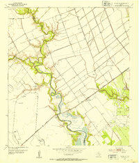
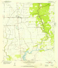
Other maps of this area
1951 · Keller Bay
USGS Topo · 1:24,000
1952 · Port Lavaca East
USGS Topo · 1:24,000
1952 · Point Comfort
USGS Topo · 1:24,000
1952 · Olivia
USGS Topo · 1:24,000
1952 · Kamey
USGS Topo · 1:24,000
1952 · Port Lavaca West
USGS Topo · 1:24,000
1952 · La Salle
USGS Topo · 1:24,000
1952 · La Ward
USGS Topo · 1:24,000
1952 · Lolita
USGS Topo · 1:24,000

1953 · Beeville
USGS Topo · 1:250,000