Loading...
Loading map...2023 Map of Placerville
USGS Topo · Published 2023About this map
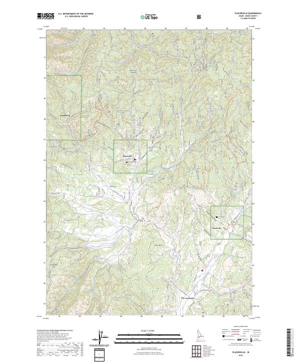
The historic mining district of the Boise Basin is revealed in this modern survey of Boise County. Central to the map is the settlement of Placerville, where local genealogy can be traced through the Placerville Cem near Granite St. To the southeast, the landscape transitions through Slaughterhouse Gulch toward the neighboring community of Centerville, which contains the Old Catholic Cem.
Find a feature on this map
62 named features on this map. Tap any name to fly to it.
Don’t see what you’re looking for? This feature index may not catch every label — zoom into the map to look around manually.
Map Details
Date Portrayed2023
Date Published2023
PublisherU.S. Geological Survey
Map TypeTopographic
Scale1:24000
Physical Dimensions24 x 29 inches
Editions of this 2023 Placerville Map
This is the sole edition of this map. No revisions or reprints were ever made.
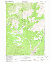
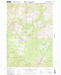
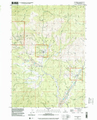
Historical Maps of Placerville Through Time
4 maps found
Featured Locations
Source Details
SourceU.S. Geological Survey
CopyrightPublic Domain