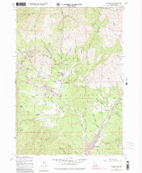
1976 Map of Placerville
USGS Topo · Published 1982About this map
Placerville serves as the focal point of this Boise Basin landscape, showing the town's grid and proximity to the Boise National Forest boundary. The map illustrates a region heavily defined by its mining heritage, with extensive tailings deposits visible along Grimes Creek and several gulches. Industrial history is etched into the terrain through numerous named operations like the Gold Hill Mine, Iowa Mine, and the Quartzburg site.
Find a feature on this map
67 named features on this map. Tap any name to fly to it.
Don’t see what you’re looking for? This feature index may not catch every label — zoom into the map to look around manually.
Map Details
Editions of this 1976 Placerville Map
This is the sole edition of this map. No revisions or reprints were ever made.
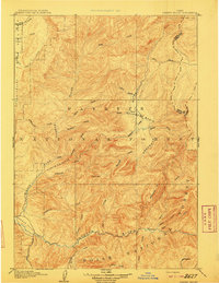
Other maps of this area

1892 · Boise
USGS Topo · 1:125,000

1894 · Squaw Creek
USGS Topo · 1:125,000

1894 · Idaho Basin
USGS Topo · 1:125,000

1897 · Boise
USGS Topo · 1:125,000
1909 · Garden Valley
USGS Topo · 1:125,000
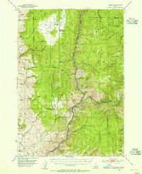
1953 · Banks
USGS Topo · 1:62,500

1955 · Baker
USGS Topo · 1:250,000

1955 · Hailey
USGS Topo · 1:250,000

1955 · Boise
USGS Topo · 1:250,000
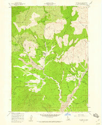
1957 · Placerville
USGS Topo · 1:24,000