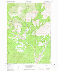
1957 Map of Placerville
USGS Topo · Published 1982About this map
Placerville and the surrounding gold-mining districts of the Boise National Forest are shown here as they appeared mid-century, following field checks in 1957. The landscape is heavily marked by its industrial heritage, with extensive tailings deposits lining the banks of Grimes Creek and Granite Creek. These residues of hydraulic and placer mining operations trace the path of development from Quartzburg in the northwest down to Centerville and New Centerville in the southeast.
Find a feature on this map
70 named features on this map. Tap any name to fly to it.
Don’t see what you’re looking for? This feature index may not catch every label — zoom into the map to look around manually.
Map Details
Editions of this 1957 Placerville Map
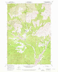
Other maps of this area

1892 · Boise
USGS Topo · 1:125,000

1894 · Squaw Creek
USGS Topo · 1:125,000

1894 · Idaho Basin
USGS Topo · 1:125,000

1897 · Boise
USGS Topo · 1:125,000

1909 · Garden Valley
USGS Topo · 1:125,000

1953 · Banks
USGS Topo · 1:62,500

1955 · Baker
USGS Topo · 1:250,000

1955 · Hailey
USGS Topo · 1:250,000

1955 · Boise
USGS Topo · 1:250,000

1957 · Placerville
USGS Topo · 1:24,000