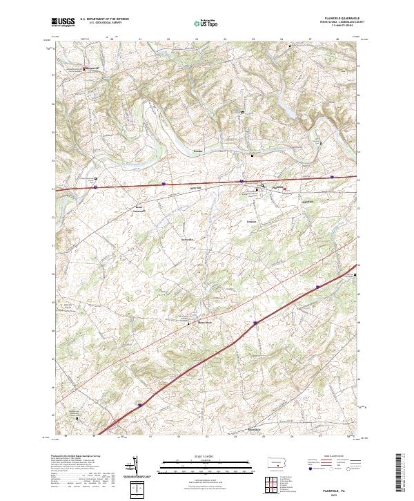
2023 Map of Plainfield
USGS Topo · Published 2023About this map
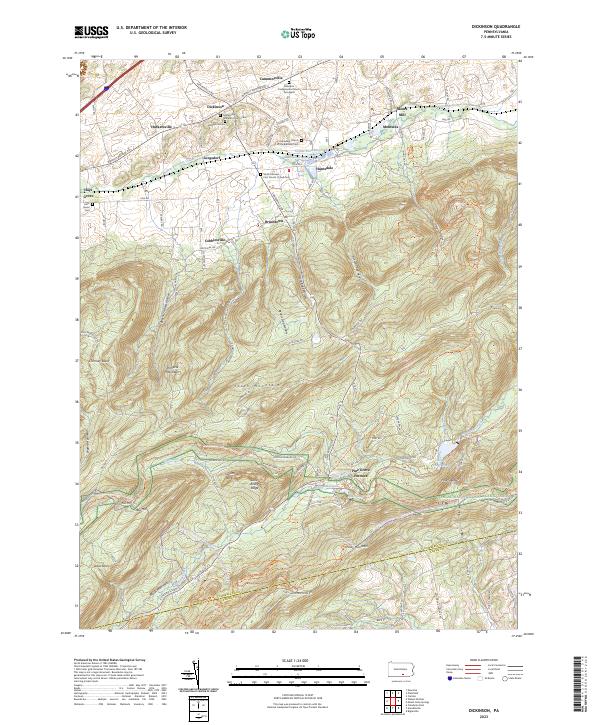
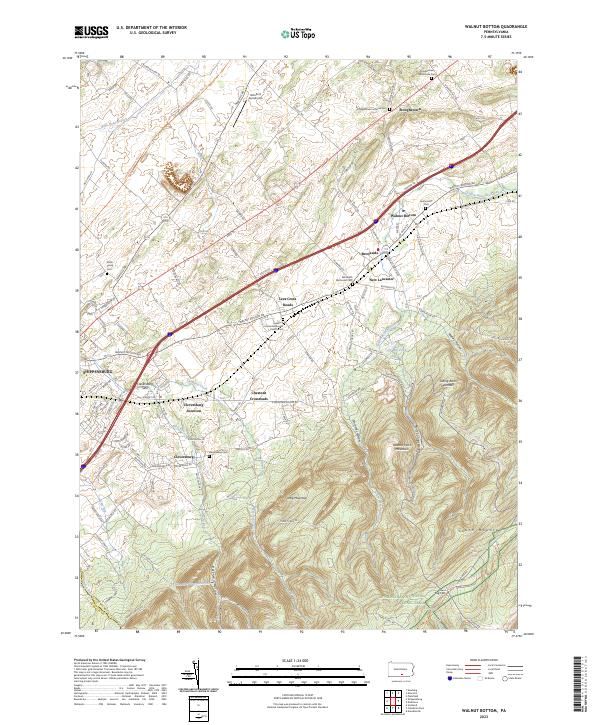
Conodoguinet Creek meanders through the heart of Cumberland County, anchoring a landscape defined by its agricultural roots and deep-seated religious heritage. The settlement of Plainfield sits near the crossing of major thoroughfares, surrounded by a dense network of smaller communities such as Greason, Mount Rock, and Blosserville. This area is notable for its concentration of historic burial sites and congregations, including the Plainfield Church of God and the Saint Matthew Evangelical Lutheran Church, which served the local farming families for generations.
Find a feature on this map
119 named features on this map. Tap any name to fly to it.
Don’t see what you’re looking for? This feature index may not catch every label — zoom into the map to look around manually.
Map Details
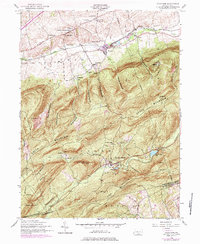
Editions of this 2023 Plainfield Map
This is the sole edition of this map. No revisions or reprints were ever made.
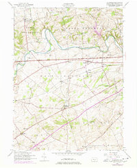
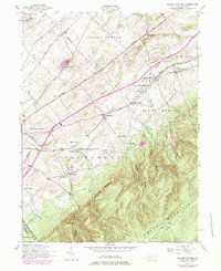
Historical Maps of Keiters Mill Through Time
8 maps found
Featured Locations
- Dickinson Township, PA
- North Middleton Township, PA
- Upper Frankford Township, PA
- West Pennsboro Township, PA
- Plainfield, West Pennsboro Township