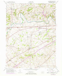
1952 Map of Plainfield
USGS Topo · Published 1978About this map
Conodoguinet Creek carves a winding path across this landscape, separating the townships of Upper Frankford and Lower Frankford from the rolling farmland of West Pennsboro. The map documents a mid-century rural society still anchored by local institutions, featuring numerous country schools such as Mt Pleasant School, Locust Point School, and West Pennsboro School. By the 1970s revisions, the heavy infrastructure of the Pennsylvania Turnpike and a Pipeline corridor cut through the older settlement patterns established at Plainfield and Bloserville.
Find a feature on this map
56 named features on this map. Tap any name to fly to it.
Don’t see what you’re looking for? This feature index may not catch every label — zoom into the map to look around manually.
Map Details
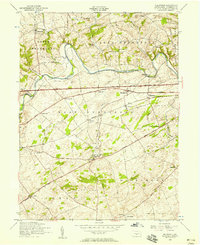
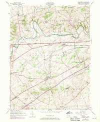
Editions of this 1952 Plainfield Map
Other maps of this area

1904 · Carlisle
USGS Topo · 1:62,500

1907 · New Bloomfield
USGS Topo · 1:62,500

1919 · Newville
USGS Topo · 1:62,500

1930 · Loysville
USGS Topo · 1:62,500

1933 · Loysville
USGS Topo · 1:62,500

1943 · New Bloomfield
USGS Topo · 1:62,500

1943 · Carlisle
USGS Topo · 1:62,500

1945 · Newville
USGS Topo · 1:62,500

1950 · Harrisburg
USGS Topo · 1:250,000
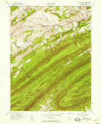
1952 · Andersonburg
USGS Topo · 1:24,000
Featured Places
- Plainfield, West Pennsboro Township
- West Pennsboro Township, PA
- Mooredale, Dickinson Township
- Dickinson Township, PA
- Upper Frankford Township, PA