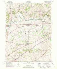
1952 Map of Plainfield
USGS Topo · Published 1970About this map
Conodoguinet Creek winds through the limestone valley of central Cumberland County, defining the rural character of a landscape partitioned into townships like West Pennsboro and Dickinson. This mid-century document captures a period of transition where traditional agrarian hubs like Plainfield and Bloserville meet the modern infrastructure of the Pennsylvania Turnpike. The map is particularly rich in local educational history, identifying numerous rural schoolhouses such as Green Hill School, Stone School, and the Waterloo School (Abandoned). The presence of the Penn Central railroad and several small crossroads settlements like Bears Crossroads illustrates the historical transportation network that supported the local economy. Religious and community life is anchored by landmarks like the Opossum Hill Union Church and the combined McAllister School and Church, while newer cultural additions like a Drive-in theater appear along the main thoroughfares.
Find a feature on this map
51 named features on this map. Tap any name to fly to it.
Don’t see what you’re looking for? This feature index may not catch every label — zoom into the map to look around manually.
Map Details
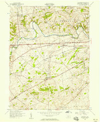
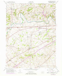
Editions of this 1952 Plainfield Map
Other maps of this area

1904 · Carlisle
USGS Topo · 1:62,500

1907 · New Bloomfield
USGS Topo · 1:62,500

1919 · Newville
USGS Topo · 1:62,500

1930 · Loysville
USGS Topo · 1:62,500

1933 · Loysville
USGS Topo · 1:62,500

1943 · New Bloomfield
USGS Topo · 1:62,500

1943 · Carlisle
USGS Topo · 1:62,500

1945 · Newville
USGS Topo · 1:62,500

1950 · Harrisburg
USGS Topo · 1:250,000
1952 · Andersonburg
USGS Topo · 1:24,000
Featured Places
- Plainfield, West Pennsboro Township
- West Pennsboro Township, PA
- Mooredale, Dickinson Township
- Dickinson Township, PA
- Upper Frankford Township, PA