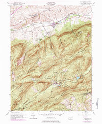
1952 Map of Dickinson
USGS Topo · Published 1984About this map
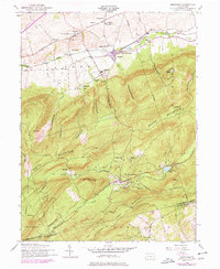
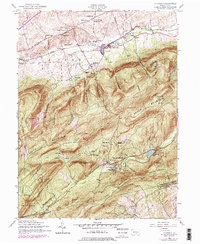
Yellow Breeches Creek flows through the northern valley of this mid-century survey, anchoring a landscape where agricultural settlements like Dickinson and Hockersville transition into the steep slopes of South Mountain. The map captures the industrial and recreational character of the South Mountain area, centered on the historic Pine Grove Furnace and its surrounding water bodies, Fuller Lake and Laurel Forge Pond. Notable local institutions include the Huntsdale State Fish Hatchery and several rural churches, such as the South Fairview Church and Church of the Brethren.
Find a feature on this map
63 named features on this map. Tap any name to fly to it.
Don’t see what you’re looking for? This feature index may not catch every label — zoom into the map to look around manually.
Map Details
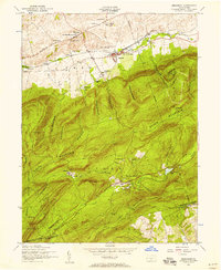
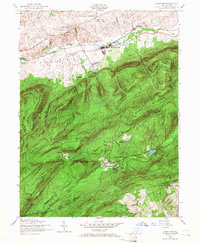
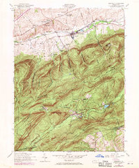
Editions of this 1952 Dickinson Map
6 editions found
Other maps of this area

1904 · Carlisle
USGS Topo · 1:62,500

1908 · Gettysburg
USGS Topo · 1:62,500

1909 · Fairfield
USGS Topo · 1:62,500

1919 · Newville
USGS Topo · 1:62,500

1942 · Gettysburg
USGS Topo · 1:125,000

1943 · Carlisle
USGS Topo · 1:62,500

1944 · Flat Ridge
USGS Topo · 1:31,680

1944 · Arendtsville
USGS Topo · 1:31,680
1944 · Biglerville
USGS Topo · 1:31,680

1945 · Newville
USGS Topo · 1:62,500
Featured Places
- Dickinson, Penn Township
- Southampton Township, PA
- Cooke Township, PA
- Cumminsville, Penn Township
- Longsdorf, Penn Township