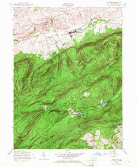
1952 Map of Dickinson
USGS Topo · Published 1966About this map
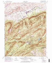
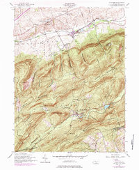
Yellow Breeches Creek meanders across the northern lowlands of this landscape, defining a corridor of small settlements like Hatcheryville, Dickinson, and Brushtown. This 1952 record shows a rural Pennsylvania economy transitioning from its industrial past toward conservation and recreation. The historic Pine Grove Furnace area, featuring Fuller Lake and Laurel Forge Pond, stands as a prominent landmark in the southern timberlands. The emergence of the Appalachian Trail across South Mountain indicates the area's growing role in mid-century outdoor culture, even as the Reading railroad and remnants of a dismantled railroad speak to an earlier era of extraction. Local civic life is anchored by several rural landmarks, including the Penn Township Consolidated School and the South Fairview Church. The presence of the Huntsdale State Fish Hatchery highlights the deliberate management of the region's abundant water resources.
Find a feature on this map
59 named features on this map. Tap any name to fly to it.
Don’t see what you’re looking for? This feature index may not catch every label — zoom into the map to look around manually.
Map Details
Editions of this 1952 Dickinson Map
6 editions found
Other maps of this area

1904 · Carlisle
USGS Topo · 1:62,500

1908 · Gettysburg
USGS Topo · 1:62,500

1909 · Fairfield
USGS Topo · 1:62,500

1919 · Newville
USGS Topo · 1:62,500

1942 · Gettysburg
USGS Topo · 1:125,000

1943 · Carlisle
USGS Topo · 1:62,500

1944 · Flat Ridge
USGS Topo · 1:31,680

1944 · Arendtsville
USGS Topo · 1:31,680
1944 · Biglerville
USGS Topo · 1:31,680

1945 · Newville
USGS Topo · 1:62,500
Featured Places
- Dickinson, Penn Township
- Southampton Township, PA
- Cooke Township, PA
- Cumminsville, Penn Township
- Longsdorf, Penn Township