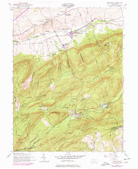
1952 Map of Dickinson
USGS Topo · Published 1978About this map
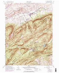
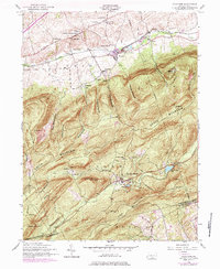
South Mountain dominates this mid-century landscape, where the rugged terrain of the Michaux State Forest meets the agrarian valleys of Cumberland County. The map reveals a transition from industrial history to recreational land use, most notably at Pine Grove Furnace, where Fuller Lake and Laurel Forge Pond sit near the historic Pine Grove Chapel. The presence of the Appalachian Trail winding through the gaps illustrates the area's early role in the emerging national trail system.
Find a feature on this map
62 named features on this map. Tap any name to fly to it.
Don’t see what you’re looking for? This feature index may not catch every label — zoom into the map to look around manually.
Map Details
Editions of this 1952 Dickinson Map
6 editions found
Other maps of this area

1904 · Carlisle
USGS Topo · 1:62,500

1908 · Gettysburg
USGS Topo · 1:62,500

1909 · Fairfield
USGS Topo · 1:62,500

1919 · Newville
USGS Topo · 1:62,500

1942 · Gettysburg
USGS Topo · 1:125,000

1943 · Carlisle
USGS Topo · 1:62,500

1944 · Flat Ridge
USGS Topo · 1:31,680

1944 · Arendtsville
USGS Topo · 1:31,680
1944 · Biglerville
USGS Topo · 1:31,680

1945 · Newville
USGS Topo · 1:62,500
Featured Places
- Dickinson, Penn Township
- Southampton Township, PA
- Cooke Township, PA
- Cumminsville, Penn Township
- Longsdorf, Penn Township