
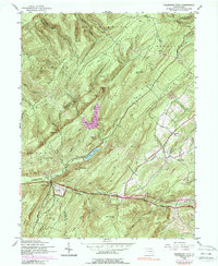
1944 Map of Flat Ridge
USGS Topo · Published 1944About this map
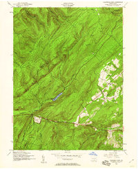
The Appalachian Trail snakes through the high ridges of South Mountain in this 1944 War Department survey, marking a rugged corridor through the Michaux State Forest and Mont Alto State Forest. The map centers on the public lands and recreational infrastructure of the era, notably Caledonia Park where the District Foresters Office and the Caledonia Golf Course are situated. This area reflects a mid-century landscape dedicated to conservation and forestry management, characterized by numerous State Game Refuges and lookout points like Rocky Knob and Wigwam Hill.
Find a feature on this map
56 named features on this map. Tap any name to fly to it.
Don’t see what you’re looking for? This feature index may not catch every label — zoom into the map to look around manually.
Map Details
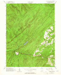
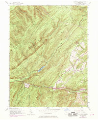
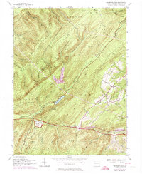
Editions of this 1944 Flat Ridge Map
6 editions found
Other maps of this area

1902 · Chambersburg
USGS Topo · 1:62,500

1909 · Fairfield
USGS Topo · 1:62,500

1919 · Newville
USGS Topo · 1:62,500

1923 · Shippensburg
USGS Topo · 1:62,500

1942 · Hagerstown
USGS Topo · 1:125,000

1942 · Gettysburg
USGS Topo · 1:125,000

1943 · Hagerstown
USGS Topo · 1:125,000

1943 · Chambersburg
USGS Topo · 1:62,500

1943 · Shippensburg
USGS Topo · 1:62,500

1944 · Scotland
USGS Topo · 1:31,680
Featured Places
- Guilford Township, PA
- Southampton Township, PA
- Franklin Township, PA
- Greene Township, PA
- Menallen Township, PA