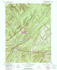
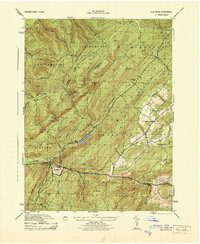
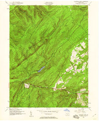
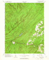
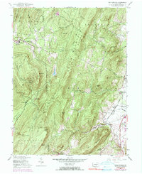
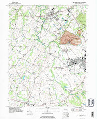
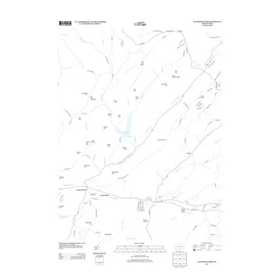
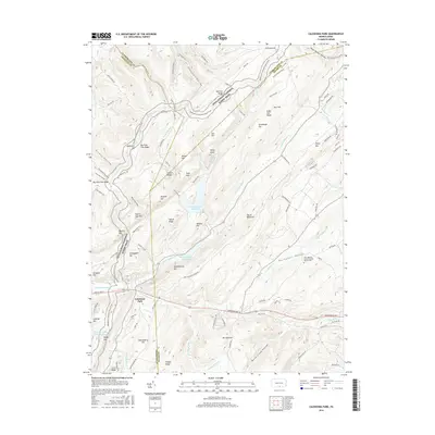
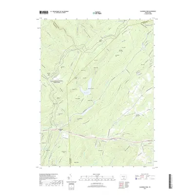
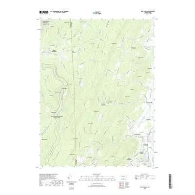
1944 Map of Caledonia Park
USGS Topo · Published 1988About this map
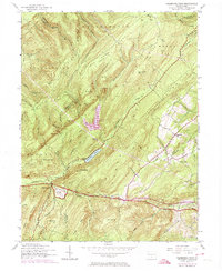
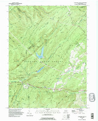
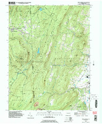
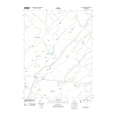
Caledonia Park and the surrounding reaches of South Mountain define this landscape on the border of Franklin and Adams Counties. The survey captures a mid-century period of recreation and water management, featuring both the Chambersburg Reservoir and the Long Pine Run Reservoir. The Appalachian Trail threads through the high ridges of Southampton Ridge and Menallen Ridge, passing landmarks like Wigwam Hill and the Ranger Sta.
Find a feature on this map
58 named features on this map. Tap any name to fly to it.
Don’t see what you’re looking for? This feature index may not catch every label — zoom into the map to look around manually.
Map Details
Editions of this 1944 Caledonia Park Map
6 editions found

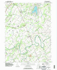
Historical Maps of Guilford Township Through Time
24 maps found
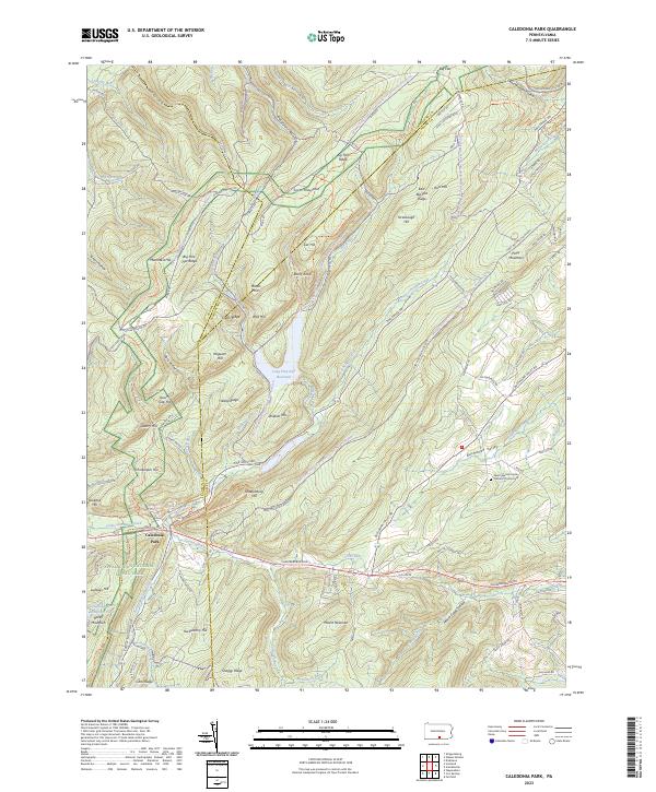
1944 Caledonia Park
Adams County, PA
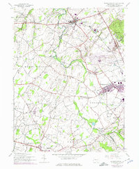
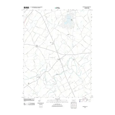
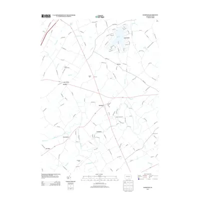
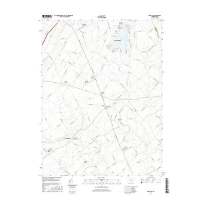
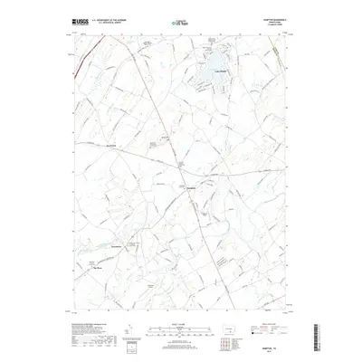
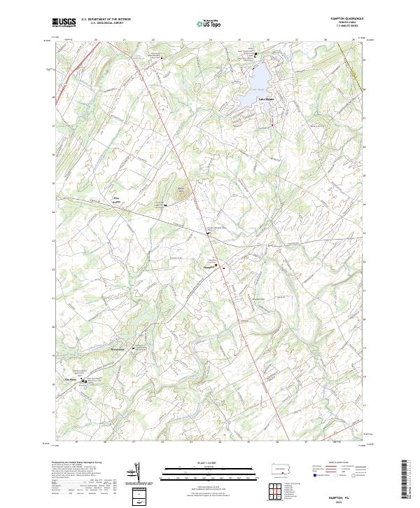
1944 Hampton
Adams County, PA
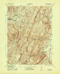
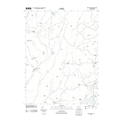
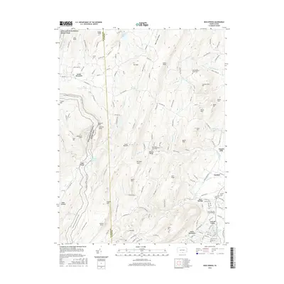
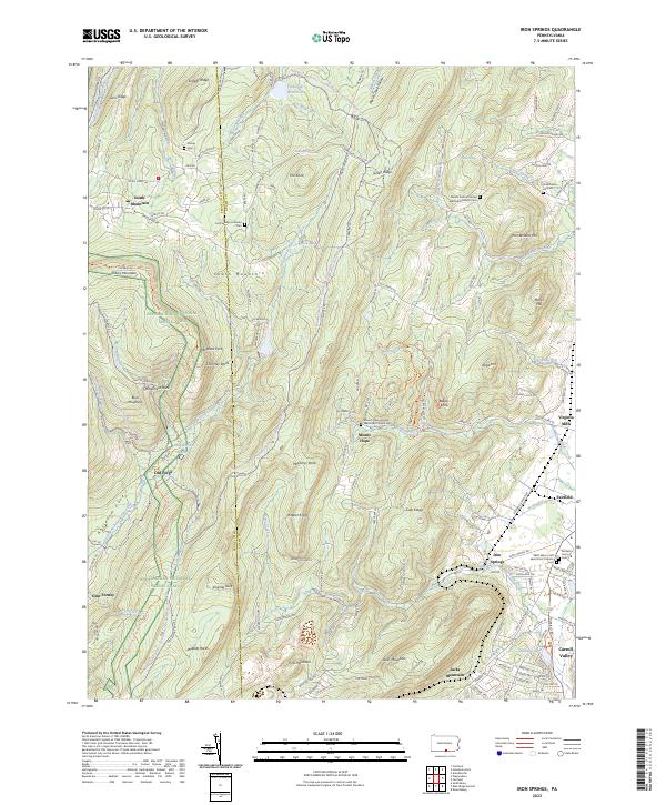
1944 Iron Springs
Adams County, PA
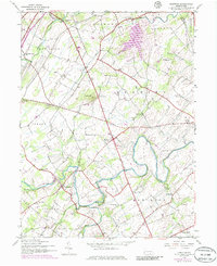
1944 Mc Sherrystown
Adams County, PA
1953 Iron Springs
Adams County, PA
1990 Caledonia Park
Adams County, PA
1990 Hampton
Adams County, PA
1990 Iron Springs
Adams County, PA
1990 Mc Sherrystown
Adams County, PA
2010 Caledonia Park
Adams County, PA
2010 Hampton
Adams County, PA
2010 Iron Springs
Adams County, PA
2013 Caledonia Park
Adams County, PA
2013 Hampton
Adams County, PA
2013 Iron Springs
Adams County, PA
2016 Caledonia Park
Adams County, PA
2016 Hampton
Adams County, PA
2016 Iron Springs
Adams County, PA
2019 Caledonia Park
Adams County, PA
2019 Hampton
Adams County, PA
2019 Iron Springs
Adams County, PA
2023 Caledonia Park
Adams County, PA
2023 Hampton
Adams County, PA
2023 Iron Springs
Adams County, PA
Featured Locations
- Greene Township, PA
- Guilford Township, PA
- Southampton Township, PA
- Menallen Township, PA
- Franklin Township, PA