
1944 Map of Scotland
USGS Topo · Published 1944About this map
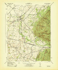
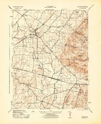
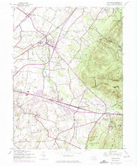
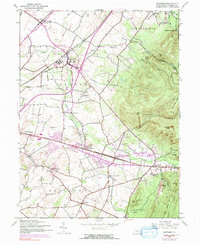
Conococheague Creek winds through this central Franklin County landscape, serving as a geographic anchor for the village of Scotland and the nearby Soldiers Orphan School. The mid-1940s terrain is defined by a transition from the level agricultural lands of Guilford and Greene townships to the rising elevations of the Michaux State Forest in the east. The railroad corridor of the Pennsylvania line is a prominent feature, linking the small crossroads settlements of Green Village, Woodstock, and Fayetteville. Local institutional and economic life is evident in the distribution of rural landmarks, including the Edgewood School, Sharps School, and a Stone Quarry south of Conococheague Island. To the southeast, the ridges are dotted with recreational sites like the Furnace Spring Hunting Lodge and topographic landmarks such as Eagle Rock and Stump Hill.
Find a feature on this map
59 named features on this map. Tap any name to fly to it.
Don’t see what you’re looking for? This feature index may not catch every label — zoom into the map to look around manually.
Map Details
Editions of this 1944 Scotland Map
7 editions found
Other maps of this area

1902 · Chambersburg
USGS Topo · 1:62,500

1909 · Fairfield
USGS Topo · 1:62,500

1919 · Newville
USGS Topo · 1:62,500

1923 · Shippensburg
USGS Topo · 1:62,500

1942 · Hagerstown
USGS Topo · 1:125,000

1942 · Gettysburg
USGS Topo · 1:125,000

1943 · Hagerstown
USGS Topo · 1:125,000

1943 · Chambersburg
USGS Topo · 1:62,500

1943 · Shippensburg
USGS Topo · 1:62,500
1944 · Waynesboro
USGS Topo · 1:31,680
Featured Places
- Chambersburg, PA
- Fayetteville, Greene Township
- Guilford Township, PA
- Scotland, Greene Township
- Greene Township, PA