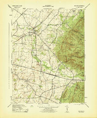
1944 Map of Scotland
USGS Topo · Published 1944About this map
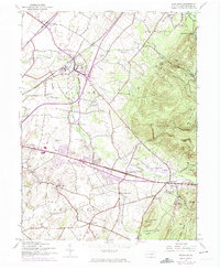
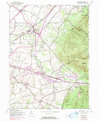
Green Village and Scotland anchor the northern landscape of this Franklin County region, where the Pennsylvania Railroad tracks cut across the Conococheague Creek valley. A prominent educational and social landmark, the Soldiers Orphan School, is documented near the creek alongside the Scotland Water Tank. The terrain transitions sharply to the east into the high ridges of the Michaux State Forest, featuring family-named peaks like Poke Hill and Pleasant Peak.
Find a feature on this map
58 named features on this map. Tap any name to fly to it.
Don’t see what you’re looking for? This feature index may not catch every label — zoom into the map to look around manually.
Map Details
Editions of this 1944 Scotland Map
7 editions found
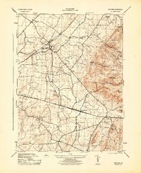
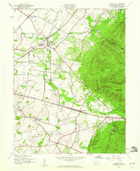
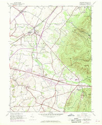
Other maps of this area

1902 · Chambersburg
USGS Topo · 1:62,500

1909 · Fairfield
USGS Topo · 1:62,500

1919 · Newville
USGS Topo · 1:62,500

1923 · Shippensburg
USGS Topo · 1:62,500

1942 · Hagerstown
USGS Topo · 1:125,000

1942 · Gettysburg
USGS Topo · 1:125,000

1943 · Hagerstown
USGS Topo · 1:125,000

1943 · Chambersburg
USGS Topo · 1:62,500

1943 · Shippensburg
USGS Topo · 1:62,500

1944 · Scotland
USGS Topo · 1:31,680
Featured Places
- Chambersburg, PA
- Fayetteville, Greene Township
- Guilford Township, PA
- Scotland, Greene Township
- Greene Township, PA