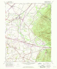
1944 Map of Scotland
USGS Topo · Published 1969About this map
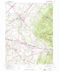
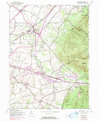
Scotland and the surrounding townships of Greene and Guilford are defined by the convergence of the Penn Central railroad and the winding Conococheague Creek. This 1944 survey, with 1968 photorevisions, captures a transitional period in Franklin County where traditional agricultural and educational sites sit alongside emerging modern infrastructure. Significant local landmarks such as the Soldiers Orphan Sch near the creek and several rural schoolhouses like Mt Vernon Sch and Grand Point Sch document the civic landscape of the era.
Find a feature on this map
54 named features on this map. Tap any name to fly to it.
Don’t see what you’re looking for? This feature index may not catch every label — zoom into the map to look around manually.
Map Details
Editions of this 1944 Scotland Map
7 editions found
Other maps of this area

1902 · Chambersburg
USGS Topo · 1:62,500

1909 · Fairfield
USGS Topo · 1:62,500

1919 · Newville
USGS Topo · 1:62,500

1923 · Shippensburg
USGS Topo · 1:62,500

1942 · Hagerstown
USGS Topo · 1:125,000

1942 · Gettysburg
USGS Topo · 1:125,000

1943 · Hagerstown
USGS Topo · 1:125,000

1943 · Chambersburg
USGS Topo · 1:62,500

1943 · Shippensburg
USGS Topo · 1:62,500

1944 · Scotland
USGS Topo · 1:31,680
Featured Places
- Chambersburg, PA
- Fayetteville, Greene Township
- Guilford Township, PA
- Scotland, Greene Township
- Greene Township, PA