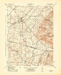
1944 Map of Scotland
USGS Topo · Published 1944About this map
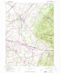
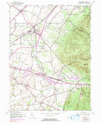
Soldiers Orphan School sits at the heart of this landscape, anchoring a community along the Pennsylvania railroad line. The terrain transitions from the agricultural lowlands of Greene and Guilford townships into the wooded heights of Michaux State Forest. Settlement patterns follow the winding course of Conococheague Creek, where small villages like Scotland, Smoketown, and Fayetteville are linked by a network of rural roads. This mid-century survey captures the region just before the post-war expansion, showing a high density of local educational institutions such as Grand Point School and Sharps School. Further east, the map reveals the recreational and utilitarian uses of the forest, including a CCC Camp, multiple hunting lodges, and the Shippensburg Reservoir. The presence of a Stone Quarry and numerous named springs like Crawford Springs highlights the local reliance on the area's natural resources and geological features.
Find a feature on this map
59 named features on this map. Tap any name to fly to it.
Don’t see what you’re looking for? This feature index may not catch every label — zoom into the map to look around manually.
Map Details
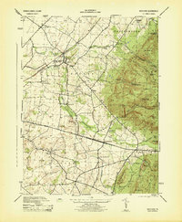
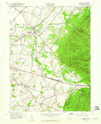
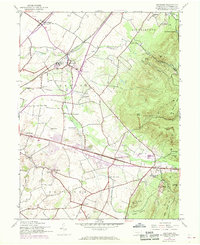
Editions of this 1944 Scotland Map
7 editions found
Other maps of this area

1902 · Chambersburg
USGS Topo · 1:62,500

1909 · Fairfield
USGS Topo · 1:62,500

1919 · Newville
USGS Topo · 1:62,500

1923 · Shippensburg
USGS Topo · 1:62,500

1942 · Hagerstown
USGS Topo · 1:125,000

1942 · Gettysburg
USGS Topo · 1:125,000

1943 · Hagerstown
USGS Topo · 1:125,000

1943 · Chambersburg
USGS Topo · 1:62,500

1943 · Shippensburg
USGS Topo · 1:62,500

1944 · Scotland
USGS Topo · 1:31,680
Featured Places
- Chambersburg, PA
- Fayetteville, Greene Township
- Guilford Township, PA
- Scotland, Greene Township
- Greene Township, PA